

























































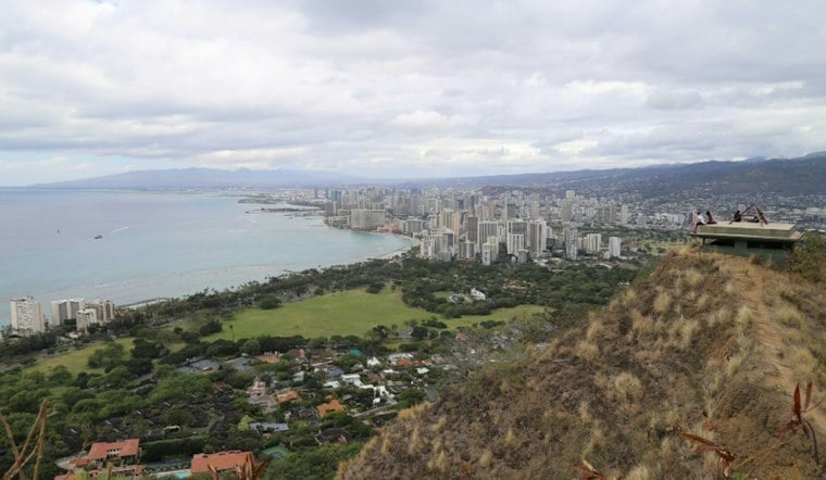
Patchy rain is nearby through Friday morning, October 23, in Honolulu, with a forecast high around 86 degrees. A potentially wetter pattern could arrive early next week.
Sunny Weekend With A Few Showers
Friday night will be partly cloudy with a low around 74, followed by a high near 85 degrees Saturday, with a few morning showers possible. Sunday brings scattered showers possible before noon, a 30% chance of rain and a high near 85.
Trade winds will strengthen gradually through the weekend, and brief showers will favor windward and mountain areas, according to the National Weather Service. No watches, warnings or advisories are currently in effect.
Rain Potential Rises Early Next Week
Monday should remain mostly sunny with scattered showers expected Monday night and a 50% chance of rain. Deep tropical moisture is expected over the state around Tuesday and Wednesday, with potential for significant heavy rain and thunderstorms.
The unsettled pattern could continue through at least the middle of next week, with heavy rain and thunderstorms possible across the islands. Forecasters are warning that the broader weather shift could bring significant heavy rain, flash flooding and damaging winds in stronger thunderstorms across the islands, making the midweek forecast a serious one for commuters and outdoor plans.
Forecast Sharpens After Earlier Tropical Rain Outlook
The timing and intensity are becoming clearer than in Thursday’s Hoodline forecast update, which flagged a wetter pattern for next week. For now, Honolulu gets one more mostly sunny weekend before the umbrellas become the more useful piece of gear.


