

























































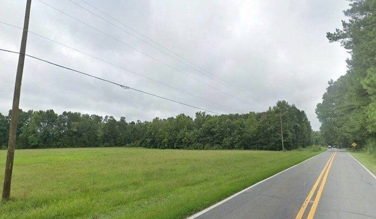
A North Carolina family has permanently protected 150 acres of forested land spanning Iredell and Alexander counties, including the 1,716-foot peak of Shumaker Mountain. The tract also includes mature forests and a stretch of an unnamed tributary of Rocky Creek, land that has belonged to the Boone family for generations and now carries legal protection from future development.
According to the Mooresville Tribune, Three Rivers Land Trust worked with John Boone and other Boone family members to complete the conservation easement, which permanently protects the property from development. The effort fulfilled a vision held by the late Harry Vester Boone Jr., who envisioned conservation of the land. “The mountain has meant so much to our family over the years,” John Boone said, per the same report. He added that its forests, springs and wildlife will always be there.
Kyle Shores, a senior land protection specialist at Three Rivers Land Trust, said the property's forests, wildlife habitat and water resources contribute to its conservation value, and that the Shumaker Mountain peak makes the property especially significant, the Tribune reported.
A Rare High Point in a County of Rolling Hills
Shumaker Mountain's summit sits at roughly 1,716 feet above sea level, according to Iredell Free News. That makes it one of the highest natural points in Iredell County, where Fox Mountain holds the county's overall high point at 1,760 feet, per the Iredell County Government. High-elevation terrain like this is unusual across a county landscape that is mostly rolling hills.
The property sits within the easternmost extent of the Brushy Mountain chain. The Brushy Mountains are an isolated, deeply eroded monadnock chain of the Blue Ridge Mountains that forms a natural watershed divide between the Catawba and Yadkin river basins, according to NCpedia. Unlike the main Blue Ridge chain, the Brushy Mountains contain almost no public parkland or state-managed conservation areas, a detail noted in discussion on Reddit, making private conservation easements like this one the primary mechanism for preserving intact forest corridors and ridgelines in the range.
Protecting Headwaters That Feed a Regional Water Supply
The tributary running through the Boone property feeds into the broader Yadkin-Pee Dee River Basin. Streams and tributaries within that basin contribute directly to a watershed system that supplies drinking water to more than 1 million residents across central North Carolina, according to the Salisbury Post. Protecting forested headwaters like Shumaker Mountain's slopes helps limit the runoff and erosion that can otherwise degrade water quality downstream.
That significance is magnified by how much open land North Carolina is losing overall. The state converted or developed more than 732,000 acres of agricultural land between 2001 and 2016, a rate of 5.5 acres every hour, ranking second nationwide for projected farmland and open space loss by 2040, according to Three Rivers Land Trust. Iredell County itself, located roughly 45 miles north of Charlotte, has experienced sustained population growth and suburban expansion that increases development pressure on rural and forested acreage.
What a Conservation Easement Actually Locks In
Under North Carolina state law and federal tax code, a conservation easement is a legally binding deed restriction recorded with the local Register of Deeds that permanently strips development rights from a property in perpetuity, while leaving private ownership intact, according to NC State Extension. That means the Boone family retains ownership of their land, but any future owner remains legally bound to keep it undeveloped.
Three Rivers Land Trust was founded in 1995 as the Land Trust for Central North Carolina and now operates across a 15-county region spanning the central Piedmont and Sandhills. The organization has protected more than 53,000 acres of open space, working farms and wildlife habitats to date. It adopted its current name in 2018 to reflect the Yadkin-Pee Dee, Uwharrie and Rocky rivers flowing through its service area, later expanding into five additional Sandhills counties through a 2019 land trust merger.




