

























































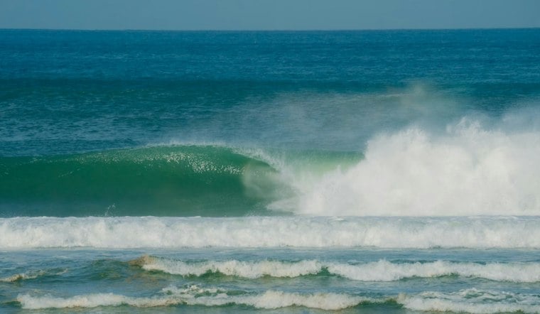
Jacksonville is starting Friday, October 30, under mostly cloudy skies with temperatures around 69 degrees and a steady northeast breeze. The city should warm to about 77 degrees before easing back into the mid-70s during the afternoon. The bigger concern is along the coast and low-lying areas, where flooding and rough water remain the main story.
Coastal Flood Warning Runs Through Early Saturday
Coastal flood warnings along the coast have been downgraded to Coastal Flood Advisories, while a Coastal Flood Warning persists for the St. Johns River Basin south of downtown Jacksonville; low-lying roads, property and shoreline areas remain vulnerable to inundation. The latest National Weather Service forecast also keeps a high risk for dangerous rip currents in place through Sunday evening.
Drivers should not go around barricades or through water of unknown depth, while beachgoers should stay near a lifeguard and avoid swimming in rough conditions. Northeast winds will run around 14 mph Friday, with gusts reaching 23 mph, making exposed areas feel noticeably blustery.
Showers Return Saturday Before A Wetter Sunday
Occasional coastal showers are expected at times Friday and into Friday night. Saturday brings a 50% chance of showers, mostly cloudy skies and a high near 78 degrees, with northeast gusts potentially reaching 29 mph.
Sunday looks unsettled, with a 50% chance of showers and thunderstorms, a high near 75 degrees and another round of breezy northeast winds. The National Weather Service says heavier rain could develop across parts of Northeast Florida south of I-10, with showers and storms potentially lingering into Monday.
The forecast is a significant shift from the brief sunny break described in Hoodline’s earlier Jacksonville forecast. Outdoor plans may still work Friday, but coastal trips, low-lying routes and beach activities deserve extra caution through the weekend.





