
























































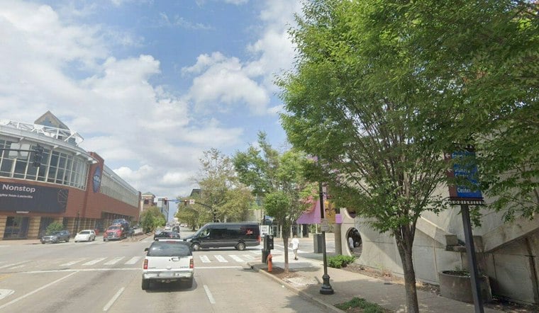
Louisville is waking up to sunny skies and temperatures in the low 60s Wednesday, but the city is headed for an 83-degree afternoon. Sunshine and dry weather will dominate the next several days before a sharp turn toward showers and thunderstorms arrives this weekend.
Sunny, Warm Stretch Arrives
Temperatures will climb quickly Wednesday, with southwest winds increasing through the afternoon and occasionally becoming breezy. The high should reach about 83 degrees, followed by a mostly clear night with a low near 56.
Thursday and Friday will keep the late-summer feeling going, with sunny skies and highs near 82 and 83 degrees. The latest forecast builds on Hoodline’s earlier outlook while adding more detail about the weekend system now taking shape.
Weekend Rain Could Be Heavy
Saturday should start mostly sunny and warm, with another high near 83 degrees, but rain chances rise sharply Saturday night. A chance of showers is forecast after 8 p.m., with a low around 62.
Sunday brings partly sunny skies, a 40% chance of rain showers and a high near 74. The National Weather Service Louisville office says remnants of a Gulf tropical system could bring widespread rainfall this weekend and into early next week, with locally higher amounts possible; gusty winds and brief, weak tornadoes could also become concerns if the system tracks farther into central Kentucky.
Cooler, Drier Conditions Return Monday
Showers and thunderstorms could linger Sunday night before conditions turn mostly sunny Monday, when temperatures are expected to reach around 80 degrees. There are currently no watches, warnings or advisories for the Louisville area, according to the National Weather Service, but weekend plans may need a rain check as the forecast develops.




