

























































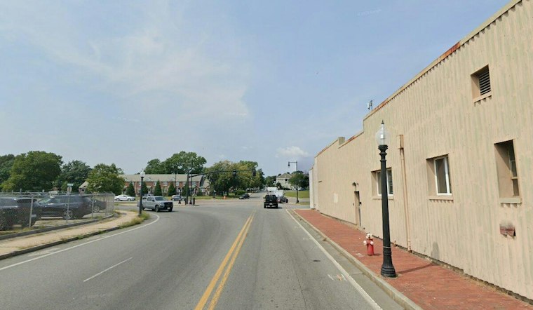
A steep, 33-step concrete staircase connecting the Route 6 bridge to MacArthur Drive in New Bedford has long been a dead end for anyone on a bike or in a wheelchair, dropping 20 feet with no accessible alternative on that side of the highway. Now, state transportation officials say that barrier is finally getting fixed, with a $7.1 million design plan that would replace the stairs with a wide, ADA-compliant ramp by 2028.
MassDOT and consultant Michael Baker presented the plans during a public virtual hearing, outlining a proposal to build a new bidirectional shared-use ramp on the northern side of Route 6, linking the bridge over the Acushnet River to MacArthur Drive below, according to Streetsblog Massachusetts. The 12-foot-wide path would include a tight turn at its top landing, and the project would also add a new crosswalk across MacArthur Drive, extend the sidewalk 200 feet north along the west side of the street, and upgrade connecting sidewalks and curb ramps nearby.
The gap in access has real consequences for how people move around the city's waterfront. Route 6 currently has an accessible pedestrian path on its south side, but no equivalent route on the north side, and the project site is not ADA accessible as a result. MassDOT does not currently clear the sidepaths on the bridge or the south-side ramp, though New Bedford has occasionally done so when asked — a maintenance patchwork that requires coordination between the city and the state, per the Streetsblog Massachusetts report.
Why the Connection Matters Now
The urgency behind closing this gap traces back to March 24, 2025, when passenger rail service between New Bedford and Boston's South Station officially resumed through the MBTA's South Coast Rail Phase 1 project. It was the first direct passenger train connection to the city in more than 65 years, with service on the line dormant since September 1958, according to the MBTA. That return of rail service has made bicycle and pedestrian connectivity to the New Bedford station a priority for planners looking to link downtown, the waterfront, and the new rail stop.
The proposed ramp would also plug directly into New Bedford's Blue Lane, an 11-mile municipal waterfront pathway network connecting the CoveWalk, HarborWalk, and a planned RiverWalk along the city's shoreline, according to the City of New Bedford. The city previously secured a $1.7 million federal RAISE grant in July 2023, funded through the Bipartisan Infrastructure Law, to support design and planning for a related Blue Lane Working Waterfront Connector project along MacArthur Drive, Herman Melville Boulevard, and North Front Street. The new ramp would also feed into the South Coast Bikeway, a regional effort to build a 50-mile continuous multi-use pathway connecting ten communities from Rhode Island to Cape Cod, per the South Coast Bikeway initiative.
Safety Questions Raised at the Hearing
Hearing attendees pressed officials on pedestrian safety details. Robert Price and Ken Charlton asked about crossing beacons and speed cameras, while other participants raised questions about lighting and traffic-calming treatments, per the Streetsblog Massachusetts account. Officials said crossing beacons and speed cameras were not considered in the original project scope but will be considered in the next phase of work.
That scope limitation isn't just a planning choice — automated speed camera enforcement is not currently permitted under Massachusetts state law, though Governor Maura Healey and state lawmakers introduced and debated proposals in 2025 and 2026 to authorize municipal speed cameras in designated safety zones, according to Axios. John York asked how the area would be plowed during winter months, a question that echoes the existing coordination challenges between MassDOT and the city over clearing the current sidepaths. Jennifer Carlioni, director of the New Bedford Department of City Planning, took part in the hearing, while residents Will Gardner and Sandra Medeiros both voiced support for the project, the Streetsblog Massachusetts report notes.
Funding and Construction Timeline
The project is funded through a mix of federal and state dollars, with the Federal Highway Administration covering 80 percent of costs and MassDOT providing the remaining 20 percent, as part of the statewide Transportation Improvement Program. The project is slated to reach a 75 percent design submission in the winter of 2026 into 2027, followed by a 100 percent design submission in summer 2027 and a PS&E submission that fall. Construction is expected to be advertised in spring 2028, with work starting that summer and completion slated for later in 2028.
Once underway, construction will require temporary shoulder or lane closures for roadway approach work, and the existing stairs will be fully closed, with a pedestrian detour provided in the meantime. The broader investment reflects a statewide push: MassDOT allocated $403 million for bicycle and pedestrian infrastructure statewide under its Capital Investment Plan for Fiscal Years 2026 through 2030, according to The New Bedford Light.
Part of a Larger Route 6 Overhaul
The ramp project is just one piece of a broader transformation planned for the Route 6 corridor. MassDOT is also advancing design work under a separate project file to fully replace the aging Route 6 New Bedford-Fairhaven Bridge, the 1903 span that carries the highway across the Acushnet River. That structure operates an electric swing bridge that averages roughly 5,000 vessel openings a year and is classified by MassDOT as functionally obsolete, according to 1420 WBSM. State engineers are currently evaluating vertical lift bridge designs to eventually replace the swing span.
Before construction on the ramp can begin, MassDOT must also secure right-of-way permissions, including property acquisitions in fee or permanent and temporary easements along Route 6 and Ramp C, a process governed by Commonwealth land-acquisition policies for state highway projects. Residents and other interested parties can weigh in on the ramp proposal by emailing MassDOT at [email protected], using the subject line Design Public Hearing: Project File No. 612263.




