

























































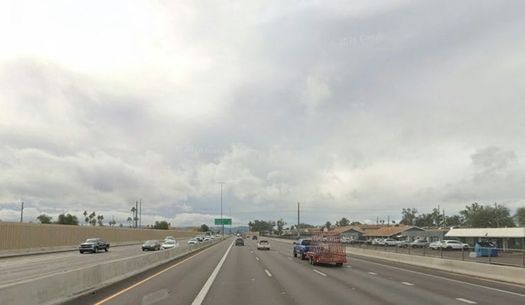
Phoenix is waking to mostly cloudy skies and temperatures around 70 degrees Friday morning, but the day is expected to turn stormy fast. Showers and thunderstorms will bring a serious flash-flooding risk across the metro area, with temperatures forecast to reach about 77 degrees.
A Flood Watch is in effect through Friday afternoon as the National Weather Service in Phoenix warns of heavy rainfall and runoff-related flooding concerns. Rain chances reach 100%, with average totals of 0.50 to 1 inch centered over and just north and east of Phoenix and locally higher totals in stronger or slower-moving storms.
Friday’s Heaviest Weather Arrives By Afternoon
Scattered showers and thunderstorms could pop up during the morning, with the best coverage expected from late morning through the afternoon and into early evening. Some storms may produce large hail and damaging wind gusts, while the heaviest downpours could drop rain at a rate capable of quickly overwhelming washes and drainage systems.
Residents should avoid driving through flooded roads or low-water crossings, even if the water looks shallow.
Halloween Weekend Brings Another Round Of Rain
Saturday should offer a relative daytime lull, with a high near 77 and mostly dry conditions. Rain is expected to develop Saturday night, with shower chances increasing late at night. The forecast is a sharper turn from the earlier Halloween outlook, which now includes additional flood concerns.
Sunday is expected to bring widespread rain, with a high near 71. Another Flood Watch is scheduled from Saturday night into late Sunday night, when already saturated ground could send more water into washes, creeks and other flood-prone spots.
Sunshine Returns Monday
The unsettled pattern should finally break Monday, with skies clearing and highs in the upper 60s to lower 70s and lows in the lower to mid-60s. Tuesday through Thursday remain in the forecast.





