

























































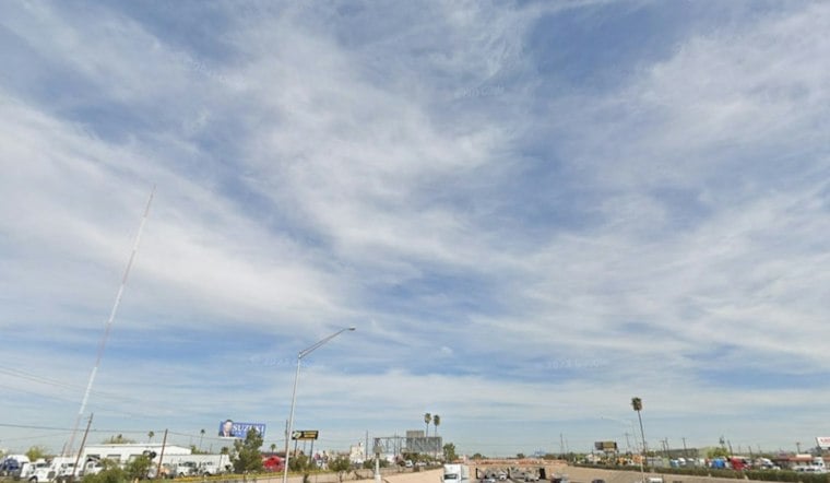
Sunday in Phoenix is forecast to have an east wind and a low near 68. The wind should ease after sunset, while a small shower chance gives way to mostly sunny skies and an afternoon high near 84 degrees.
The forecast calls for a 20% chance of showers or thunderstorms before 8 a.m., followed by temperatures settling in the low 80s during the afternoon. The National Weather Service lists no watches or warnings for Arizona.
Clearer, Warmer Days Follow
Sunday night should be mostly clear with a low around 68, then Monday turns sunny and warmer with a high near 87. Tuesday stays mostly sunny near 88, but a 20% chance of showers and thunderstorms returns after 11 p.m. Tuesday.
Storm Chances Peak Wednesday And Thursday
Wednesday brings a 30% chance of showers and thunderstorms, mostly cloudy skies and a high near 86. Thursday also has a 30% chance of showers and thunderstorms; Thursday daytime rainfall could total a tenth to a quarter-inch.
Thursday should be cooler near 82, with east winds becoming southwest and gusts up to 20 mph. The forecast then dries out quickly: Friday is sunny near 76, Friday night falls to 59, and Saturday rebounds to a sunny 78.
For outdoor plans, Sunday afternoon and Monday look like the cleanest stretch before the midweek turn. Anyone heading out Wednesday night or Thursday should keep an eye on updated forecasts, since thunderstorms can bring sudden downpours and shifting winds.





