

























































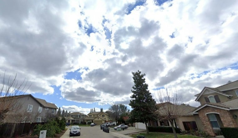
San Diego is starting Saturday under bright overcast skies. Coastal temperatures are in the upper 70s, with valley highs in the 80s, but the calm morning is expected to give way to a much rougher weekend as Tropical Storm Rachel approaches. Rain, gusty winds, flooding and dangerous surf are all in the forecast, with the most serious impacts expected Saturday night into Sunday.
The National Weather Service has issued a Tropical Storm Watch and Flood Watch covering San Diego County, along with a Coastal Flood Warning for the county’s beaches through Sunday afternoon. The latest update is a sharper turn from the earlier forecast calling mainly for weekend showers, as outlined in an earlier Hoodline forecast.
Rain Arrives Saturday Night
Saturday will remain mostly cloudy, with a high near 80. A slight chance of isolated thunderstorms is possible Saturday afternoon and evening east of the mountain peaks into the deserts. The main swath of Rachel-related rain is expected around 10 p.m. to midnight Saturday. Coastal showers are expected late Sunday morning, while temperatures across the coastal basin are forecast in the low 70s.
The National Weather Service says coastal and valley areas could receive roughly half an inch to more than an inch of rain, while higher totals are possible in the mountains. Downpours may produce rapid runoff, urban flooding and dangerous conditions near creeks, streams, low-lying roads and underpasses.
Coastal Flooding And High Surf Threaten Sunday
Sunday’s biggest concerns extend beyond rain. High tides topping 7 feet, strong onshore winds and incoming swells could cause significant coastal flooding and beach erosion, while surf is expected to reach 5 to 7 feet with sets up to 9 feet.
Walking paths and low-lying roads near the shoreline may flood, and strong rip currents will make swimming especially dangerous. The Coastal Flood Warning runs through Sunday afternoon, followed by a Coastal Flood Advisory expected to remain in effect through Tuesday afternoon.
Gusty Winds Add To The Weekend Hazards
Winds are expected to strengthen Saturday night and Sunday, with gusts near 30 mph possible in coastal and valley communities. Stronger gusts of 40 to 55 mph are possible along mountain slopes and into the deserts, with locally higher gusts in exposed ridges, passes and canyons.
Residents should secure lightweight outdoor items, avoid driving through flooded areas and never go around barricades. The safest beach plan is to stay out of the water and away from eroding shorelines while officials continue to monitor Rachel’s track.
Cooler Weather Gives Way To A Quick Warmup
Showers may linger into Monday. Temperatures are forecast in the 60s across most of the region, and in the low to mid-70s in low deserts. Conditions should improve Tuesday, with mostly sunny skies and a high near 72, followed by sunny weather Wednesday and a warmer stretch that could push temperatures to 82 Thursday and 91 Friday.
For the latest watches, warnings and local updates, the National Weather Service San Diego office advises residents to continue monitoring official forecasts and be prepared to act if flooding develops.





