

























































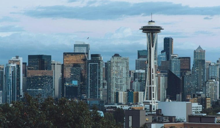
Seattle is starting Tuesday under a gray sky at about 52 degrees, with light rain possible but not yet a lock through the afternoon. The bigger weather shift arrives after sunset, when rain becomes much more likely and winds start pushing through the city.
Rain Turns More Persistent Tuesday Night
Tuesday's high should reach near 56 degrees before temperatures ease back into the mid-50s, with rain possible during the day. The National Weather Service puts the chance of rain at 90% Tuesday night, with south-southwest winds of 9 to 14 mph and gusts up to 22 mph.
Mountain Travel Gets A Winter Warning
For Seattle, this looks like a wet and breezy stretch, but higher elevations will get a different version of the storm. A winter weather advisory begins at 5 p.m. Tuesday and runs through 5 p.m. Wednesday for the Cascades, where snow levels drop and 4 to 6 inches of new snow are possible at mountain passes, with 8 to 13 inches at higher peaks.
A Brighter Weekend Takes Shape
Wednesday stays rainy and mostly cloudy, with a high in the upper 40s to low 50s, while Thursday remains damp and cooler near 52. Rain chances then taper to a slight chance of morning rain Friday, with partly sunny skies Saturday and Sunday.
Monday looks partly sunny with a high near 55, giving the city a modest reset after several gray days. The shift is a notable follow-up to Monday's Hoodline forecast, with the immediate focus now on Tuesday night's more persistent rain and the mountain advisory.




