

























































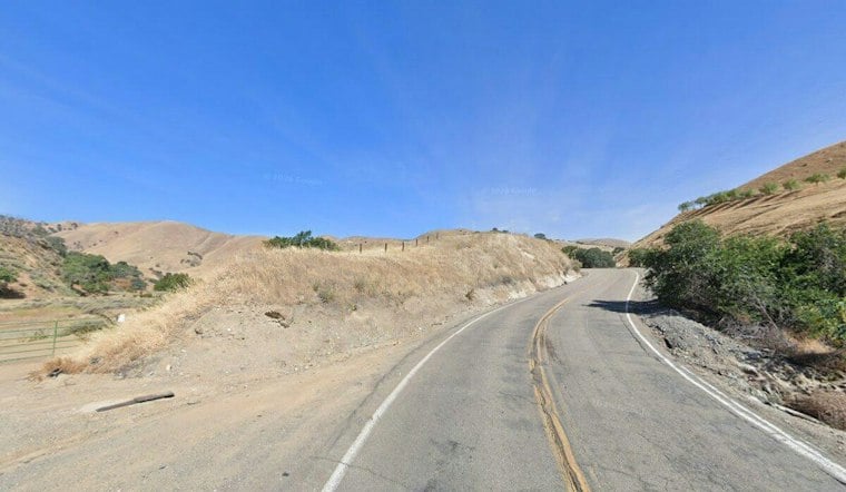
A grass fire broke out shortly before 4 p.m. Thursday in the 15000 block of Tesla Road near McLaughlin Road, west of Livermore, burning an estimated 3 to 5 acres of grass at a slow rate of spread before firefighters moved in to knock it down. The blaze, dubbed the Tesla Fire, charred land in a stretch of Alameda County known for its vineyards and agricultural acreage.
According to SFGATE, the fire was spreading slowly as firefighters battled it. The fire burned about four acres and was 40% contained; its cause was not known.
Wildland fire response in Alameda County can involve CAL FIRE's Santa Clara Unit working alongside the Alameda County Fire Department, the agency has said. A rural fire can draw resources from multiple agencies even when its footprint stays modest.
Same Name, Very Different Fire
Wednesday's blaze is not the first Tesla Fire this year, and it's worlds apart from the last one. On May 27, 2026, a separate fire also named the Tesla Fire ignited near Tesla and Cross roads, destroying two large barns and triggering vehicle and propane tank explosions before crews brought it under control after five hours, according to KTVU FOX 2. Extreme smoke during that incident forced firefighters into a defensive attack from outside the structures, the station reported.
The repeat name isn't a coincidence or a clerical error. CAL FIRE routinely names wildland incidents after the nearest street or landmark, which is why multiple unrelated fires can carry an identical name in the same general area. Hoodline previously reported that four separate Grant Fires ignited along I-580 in 2026 alone, a naming quirk that has sown confusion for residents tracking fire activity along the same corridors.
Part of a Busy Autumn for Small Alameda County Fires
Reports of fires in rural Alameda County this fall included the Carroll Fire on September 16 and the Manning Fire one week later.
Eastern Alameda County's grassland and brush terrain is particularly vulnerable this time of year, when parched vegetation combines with dry offshore Diablo winds capable of driving rapid flame spread across the steep foothills around Livermore and Altamont Pass. In June 2024, the wind-driven Corral Fire tore through 14,168 acres of eastern Alameda and San Joaquin counties near Lawrence Livermore National Laboratory Site 300, injuring two firefighters and forcing localized evacuations, per CBS News coverage at the time.
The region's worst-case scenario is even larger. CAL FIRE's Santa Clara Unit, which oversees wildland protection across five Bay Area and Central Valley counties, was the lead agency managing the August 2020 SCU Lightning Complex, a lightning-sparked blaze that burned 396,624 acres and destroyed 225 structures, ranking among the largest wildfire complexes in state history.
Building Codes and Legal Stakes in Fire-Prone Areas
Homes built in designated high-risk wildfire zones in rural Alameda County must meet California's Wildland-Urban Interface building standards under Chapter 7A, which require ember-resistant roofing and siding along with defensible space buffers of 30 to 100 feet, according to the Santa Clara County Department of Planning and Development. Wind-borne embers remain the leading cause of structure ignition during brush fires, the department notes.
The cause of Thursday's Tesla Fire remains unknown. Hoodline has reported a suspected arson fire at Garin Park in Hayward.



