

























































San Diego started Monday under mostly cloudy skies, and the unsettled weather is not quite finished yet. Rain showers remain possible through the afternoon, while a coastal flood advisory adds another wrinkle for beach neighborhoods and waterfront roads.
The city is expected to reach a high in the 60s Monday, with a 60% chance of precipitation. The latest update follows Sunday's wet and blustery conditions, detailed in an earlier Hoodline forecast.
Coastal Flooding Could Affect Roads And Parks
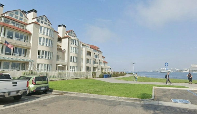
A Coastal Flood Advisory remains in effect for San Diego County coastal areas through 2 p.m. Tuesday. According to the National Weather Service, morning high tides between 6.5 and 7 feet combined with 3- to 6-foot surf could flood some lots, parks and roads, with the highest tides expected between 10 and 11 a.m. Monday and Tuesday.
Only isolated road closures are expected, but drivers should allow extra time near the coast and never go around barricades or drive through water of unknown depth. Beachgoers should also watch for strong rip currents and 3- to 5-foot surf, with local sets to 7 feet through Tuesday.
Sunny Skies Return Before A Late-Week Heat Push
Monday night will stay mostly cloudy, with showers decreasing and ending from the northwest by Tuesday morning. Tuesday should be sunny and near 71 degrees, followed by a warmer Wednesday around 73 and a sunny Thursday near 85.
The biggest jump arrives Friday, when temperatures could reach the 90s near the coast. Saturday could also bring temperatures in the 90s near the coast, with moderate heat risk returning for coastal areas and the western valleys as warmer days and nights settle in.
East to northeast Santa Ana winds could be moderate at times late in the week. For now, the forecast is a classic San Diego split-screen: keep an eye on coastal flooding and showers Monday, then start planning for heat and bright skies by the weekend.





