

























































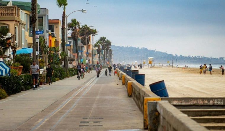
Monday's forecast calls for a high of 86, kicking off a three-day stretch of mid-80s weather while the coast deals with a separate, less inviting problem: high surf, rip currents and minor flooding.
Heat Peaks Around Veterans Day
Monday will stay sunny with north winds from calm to 10 mph, followed by a mostly clear night, with overnight lows around 64 to 66 Monday through Wednesday. Tuesday should reach 84 with northwest gusts up to 20 mph, and Veterans Day could be the warmest of the stretch at 86.
That warmth is running well above normal for early November. The National Weather Service San Diego says coastal areas and western valleys are 10 to 15 degrees above average through Wednesday, while mountains and deserts are 5 to 10 degrees above average, according to the agency's forecast.
Beach Hazards Continue Through Tuesday
For beach communities, the bigger issue is at the waterline. A Coastal Flood Advisory remains in effect through noon Tuesday, while a Beach Hazards Statement runs through Tuesday evening for San Diego County's west-facing beaches.
Surf of 3 to 7 feet and strong rip currents could make swimming dangerous, while high tides may cause minor to locally moderate flooding in low-lying parking lots and roads. Tides exceed 7 feet Monday and Tuesday mornings and peak Sunday and Monday at 7.4 to 7.6 feet, with isolated road closures possible; drivers should not go around barricades or through water of unknown depth.
Rain Chances Return Late Friday
After Thursday's 81-degree high, Friday cools to about 79 with a slight chance of rain showers after 4 p.m. Saturday looks mostly sunny but cooler near 76, with shower chances increasing Saturday night and rain showers likely Sunday as the high slips to 73.
The update adds a wetter turn to the week-ahead forecast covered in an earlier Hoodline report. For now, the practical split is simple: hot and dry inland through midweek, then cooler and increasingly unsettled heading into the weekend.





