

























































Precipitation is expected to become widespread across the area Monday.
Flood Risk Builds Through Monday Evening
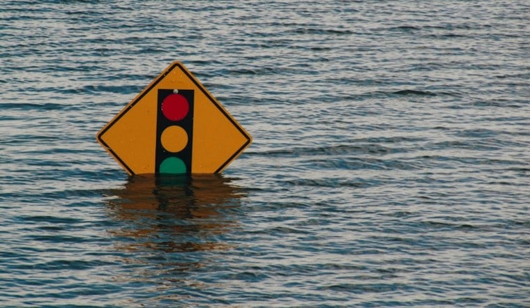
A Flood Watch remains in effect across most of the area through Monday afternoon. Rainfall could overwhelm poor-drainage and urban areas, while creeks, rivers and recent burn scars may also be vulnerable to flooding.
The watch covers a broad swath of northern Utah, including the Salt Lake Valley, and the National Weather Service says runoff could cause extensive street flooding as well as rising creeks and rivers. The alert also names the Rocky Canyon burn scar as vulnerable, underscoring that flood risk can extend beyond the most obvious low-lying spots. The Salt Lake City-area Flood Watch remains in effect through Monday afternoon.
Showers and thunderstorms are possible Monday.
Tuesday Stays Wet And Unseasonably Cool
Showers and thunderstorms continue Tuesday, when Salt Lake City is expected to top out near 52 degrees. Snow levels drop toward 7,000 to 8,000 feet, bringing accumulating snow mainly to the highest mountains.
The rain is part of a larger regional storm setup: moisture from the remnants of Tropical Storm Rachel is interacting with a strong upper-level trough, according to the National Weather Service’s Salt Lake City office. Rainfall totals of 1 to 2 inches, with locally higher amounts, are possible across the region; these estimates are regional rather than specific to Salt Lake City.
Outlying valleys could approach freezing as early as Tuesday morning, with a broader risk of freezing temperatures Wednesday and Thursday mornings. Some showers may linger Wednesday, particularly in eastern areas.
Drier Weather Arrives Thursday
Conditions are expected to turn drier beginning Thursday. Gradual warming is expected over the weekend.
For Monday plans, drivers should allow extra time during downpours and avoid water-covered roads. Residents near low-lying areas, streams or recent burn scars should monitor updates and be ready to act if a Flood Warning is issued.





