

























































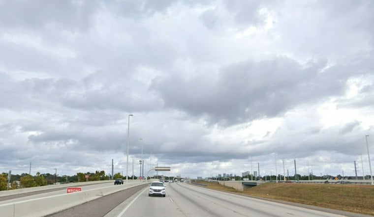
Tampa starts Saturday mostly cloudy. Showers and thunderstorms are expected through the morning and early afternoon, with a noticeable cooldown arriving behind the front.
The National Weather Service puts the chance of rain at 70% Saturday, with the main round arriving before 2 p.m. Scattered or isolated showers and thunderstorms could linger into the early evening, while rainfall totals generally remain between a tenth and a quarter of an inch.
Winds Strengthen Behind The Front
Temperatures should reach about 79 degrees. North winds will reach about 12 to 17 mph, with gusts up to about 26.5 mph later Saturday and continuing into Sunday.
Boaters should take extra care as conditions worsen over the Gulf. A Small Craft Advisory is in effect for area coastal waters, where stronger winds and building seas are expected through early Tuesday.
Sunday Starts A Cooler, Drier Stretch
Sunday brings mostly sunny skies, a high near 79 and northeast winds of 14 to 18 mph, with post-frontal gusts up to about 26.5 mph. That is a sharper turn from the warmer, stormier setup outlined in Friday’s forecast.
Monday through Friday should stay mostly sunny, with highs around 80 to 81 degrees and very low rain chances. Overnight lows will generally fall into the low to mid-60s, with Thursday night dipping near 60.
Outdoor Plans Get A Better Forecast Next Week
Once Saturday’s front moves through, Tampa settles into a breezy but much drier pattern. The best windows for outdoor plans arrive Sunday and continue through next week, though northeast winds may still make waterfront activities feel blustery.




