

























































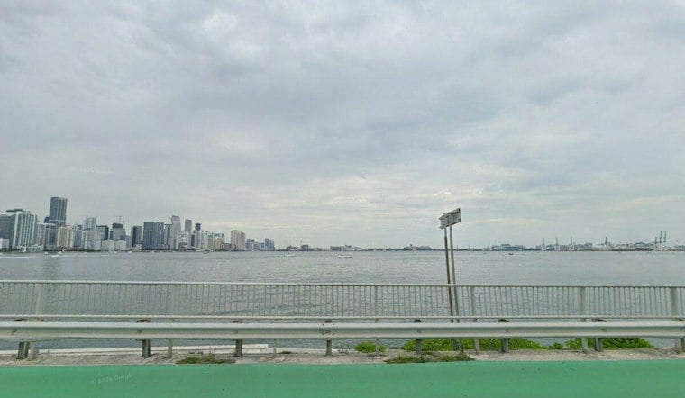
Miami is waking to scattered clouds and temperatures around 75 degrees Sunday. Northeast winds are expected. Showers and thunderstorms are expected through the day, with a high near 82 degrees and a 90% chance of rain.
Heavy Rain And Strong Winds Take Over Sunday
Storms may move through at several points Sunday, including the morning and afternoon, before rain chances gradually ease overnight. The forecast calls for 1 to 2 inches of rain, while repeated downpours could cause ponding or localized flooding on poorly drained streets.
Northeast winds will run 22 to 25 mph, with gusts reaching as high as 35 mph. Sunday night, showers are possible early, with temperatures in the upper 70s.
Dangerous Rip Currents Expected Along The Coast
Beach conditions will be hazardous even during any breaks in the rain. A high risk of rip currents is posted through Thursday evening for coastal Miami-Dade, Broward and Palm Beach counties, and the National Weather Service advises swimmers to stay near lifeguards and never fight a rip current by swimming directly against it.
Separate high-surf advisories call for breaking waves of 7 to 12 feet or 10 to 15 feet in the area. Boaters also face rough conditions, with strong winds and elevated seas expected across local waters.
Monday Brings A Drier Pattern
Monday should be mostly sunny with a high near 84 degrees, though a slight chance of showers and thunderstorms remains from late morning into the afternoon. Northeast winds will stay brisk at 22 to 25 mph, with gusts near 30 mph.
Tuesday and Wednesday look sunnier and mostly dry, with highs near 84 degrees and only a slight chance of showers. Overnight lows will fall into the low to mid-70s, offering a modest break from the weekend's sticky, stormy conditions.
Anyone planning beach, boating or fishing activities should check conditions before heading out and be prepared for rapidly changing weather.





