

























































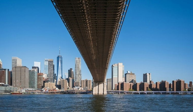
New Yorkers are waking to clear skies and temperatures around 48 degrees Monday morning, with sunshine pushing the city toward a high near 64. It will be a dry, comfortable start to the week, though a steady northeast breeze will add a decidedly fall-like edge by afternoon.
Sunny Monday, Stronger Winds Tuesday
Monday night turns partly cloudy with a low near 54, while northeast winds increase overnight. Tuesday stays mostly dry and partly sunny with a high around 65, but north winds of 14 to 17 mph could feel sharper, especially in exposed areas, according to the National Weather Service.
Offshore Storm Keeps NYC Mostly Dry
An offshore coastal low, described by forecasters as a nor'easter, is expected to remain south and east of the region. New York City’s rain chances stay near zero through Tuesday and rise only slightly Wednesday, but persistent northeast winds and ocean swells could create minor beach erosion and tidal piling along vulnerable shorelines.
The biggest coastal concern is Wednesday evening’s high tide, particularly for south-shore back bays and the Great South Bay on Long Island. For most city neighborhoods, the week looks more windy than wet, with no widespread rain or citywide flooding expected.
Mostly Sunny Through The Weekend
Wednesday brings sunshine and a high near 62, followed by another sunny 65-degree day Thursday. Friday reaches about 61, Saturday tops out near 60 and Sunday rebounds to around 65, while overnight lows generally settle in the mid-40s to low 50s.
The forecast adds a sharper wind-and-coast angle to Sunday’s Hoodline outlook. In practical terms, Monday is the easy outdoor day; Tuesday and Wednesday are when umbrellas may stay home, but jackets and a little caution near the waterfront will be useful.





