

























































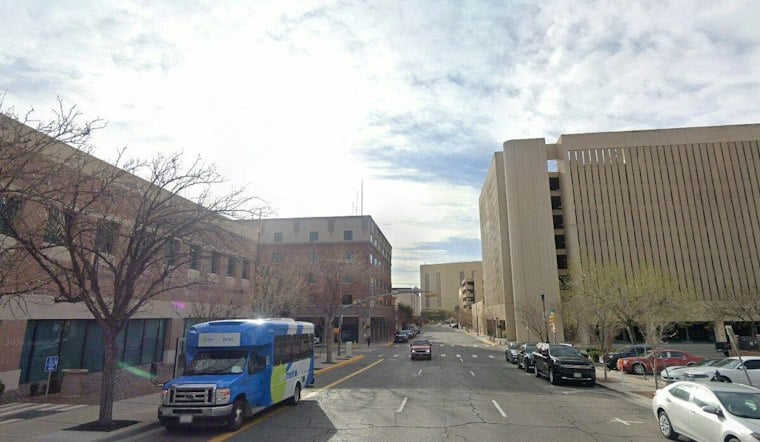
El Paso is waking up to mostly clear skies and temperatures in the low 60s Monday, October 5, with sunshine sending the afternoon high near 80 degrees. The forecast keeps rain almost entirely off the schedule for Monday, making this a calm reset after September’s wetter stretch.
Sunny Monday Leads Into A Warm Midweek
East winds will run about 5 to 10 mph Monday, while tonight turns partly cloudy with a low near 62. Tuesday stays sunny and reaches about 82 degrees, followed by the warmest day of the near-term forecast Wednesday, when temperatures could climb to 85.
The warming trend is largely in line with Hoodline’s earlier forecast, though the latest outlook adds more detail on the small rain chances later in the week.
Small Shower Chance Arrives Wednesday Night
Wednesday night could bring a slight chance of rain showers after midnight, with about a 20% chance of precipitation. Thursday remains mostly sunny at first before a slight chance of showers and thunderstorms develops after noon, with east winds occasionally gusting near 20 mph.
The National Weather Service expects the unsettled weather to remain limited rather than widespread, and Thursday night should turn mostly clear again. There are no watches, warnings or advisories listed for El Paso or nearby parts of southern New Mexico in the latest National Weather Service forecast.
Mostly Dry Weekend Keeps The Sunshine Going
Friday and Saturday should stay sunny with highs near 81 degrees, while Sunday warms back to about 84. Overnight lows will mostly settle in the low to mid-60s, giving El Paso a string of comfortable evenings for outdoor plans.




