

























































San Francisco gets one last relatively mild, mostly sunny Friday before a sharp weekend cooldown, with temperatures near 70 and gusty west-southwest winds. At the same time, a Coastal Flood Advisory warns of possible flooding in low-lying areas.
Friday Warmth Gives Way To Wind
Clouds and increasing winds are expected Friday. The high is expected to reach around 70 before temperatures slip into the mid-60s during the afternoon.
Friday night will be partly cloudy, with a low near 57 and stronger winds from the west-southwest. Gusts could reach 30 mph, making the evening feel noticeably less gentle than the afternoon.
Saturday Brings The Big Cooldown
Saturday marks the main temperature drop, with mostly sunny skies but a high near 62. West winds of 10 to 18 mph could gust to 26 mph, and Saturday night temperatures are expected to fall to about 53 with gusts reaching 32 mph.
Sunday stays sunny but cool, with a high near 63. The broader forecast allows for possible showers in the southern forecast area Monday, followed by dry, cooler weather through Wednesday, with highs in the 60s along the coast and 70s inland.
Coastal Flooding Raises Waterfront Risks
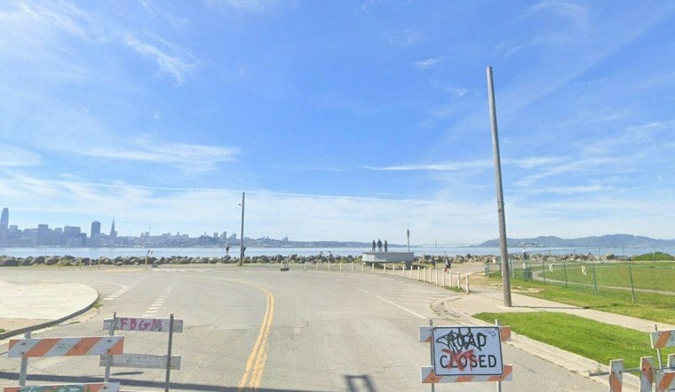
The National Weather Service warns of possible flooding in low-lying areas under a Coastal Flood Advisory, with up to 1.2 feet of water above ground level possible.
Cooler Weather Through Wednesday
The cooler, dry pattern is expected to continue through Wednesday, with highs in the 60s along the coast and 70s inland. For now, the weekend plan is simple: bring a jacket, expect a brisk breeze and treat the oceanfront as a hazard zone rather than a casual stroll.



