

























































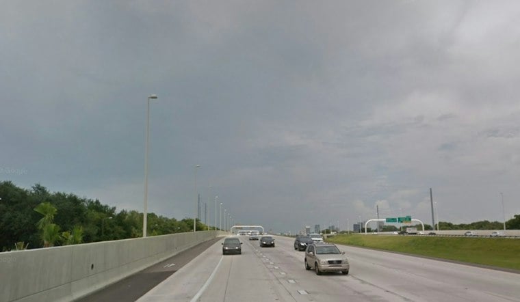
Tampa woke Tuesday under mostly cloudy skies and temperatures around 76 degrees, but the relatively quiet start will not last. Showers and thunderstorms are expected to spread across the city through the day, setting up several soggy days across the Tampa Bay area.
The National Weather Service Tampa Bay office forecasts isolated showers early Tuesday, scattered storms from late morning into early afternoon and widespread rain later in the day. Tampa could reach about 85 degrees before rain pulls temperatures down toward 81, with a 90% chance of precipitation and up to three-quarters of an inch possible.
Tuesday Night Stays Stormy
Showers and thunderstorms may redevelop over coastal waters overnight and move onshore. The low should settle near 74 degrees, with an 80% rain chance.
Wettest Stretch Arrives Wednesday
Wednesday looks like the soggiest day of the near-term forecast, with widespread showers and thunderstorms, a high near 82 and another 90% chance of rain. Persistent rain could raise the possibility of ponding on roads and minor flooding in low-lying areas.
Thursday and Friday remain broadly unsettled, with highs near 81 and 82 degrees and 70% rain chances each day. Storms could continue into Friday night before the pattern begins to loosen over the weekend.
Weekend Rain Chances Ease, But Do Not Disappear
Saturday and Sunday should warm to highs near 88 and 90 degrees, respectively, with scattered storms remaining possible.
Heavy Rain And Gulf Winds Add Risks
Repeated downpours could create slick roads, standing water and localized flooding, so drivers should avoid moving water covering a roadway. Winds over the northeast Gulf are also expected to increase late Tuesday and remain elevated through the week, creating increasingly difficult conditions for small boats.
The update sharpens the storm-soaked outlook described in Monday's Hoodline forecast, adding the potential for heavier rainfall Wednesday and more persistent marine hazards later in the week.





