

























































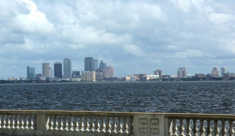
Tampa is starting Wednesday with muggy temperatures in the mid-70s, but the quiet opening will not last. Mostly cloudy skies are expected Wednesday, with showers and thunderstorms spreading across the area through the day and temperatures peaking near 81 degrees, with a Wednesday-night low of 74.
The wetter pattern first flagged in an earlier Hoodline forecast has now sharpened considerably. The National Weather Service Tampa Bay office says rain chances will reach 100% Wednesday, with southeast winds around 7 mph and periods of heavy rain possible.
Rain Could Make Roads A Mess
Wednesday could bring 1 to 2 inches of rain, with locally heavier downpours creating a risk for minor flooding in urban and low-lying areas. The heaviest rain is expected Wednesday afternoon through Thursday, with numerous to widespread showers and scattered thunderstorms forecast.
Showers and storms will remain possible Wednesday night, with a 70% rain chance and a low near 72 degrees. Thursday looks much the same, with mostly cloudy skies, an 80% rain chance and another high near 82.
Stormy Stretch Runs Through Saturday
Friday and Saturday will stay unsettled as tropical moisture continues to feed into the region. Friday should reach about 86 degrees with widespread storms, while Saturday climbs near 87 and could bring southeast winds of 10 to 14 mph, with gusts up to 22 mph.
Rain chances ease somewhat Sunday but remain high enough to disrupt outdoor plans, with a 60% chance of showers and thunderstorms and a high near 88. Thunderstorms remain possible Monday, with drier air expected early next week as rain chances decrease.
Boaters And Beachgoers Should Watch The Gulf
Increasing winds and building swells could make Gulf waters hazardous later this week, especially from Thursday night into Friday. The National Weather Service warns that dangerous rip currents may develop along area beaches, while small craft conditions are possible offshore.
No land-based watches or warnings are listed in the current forecast, but lightning, flooded streets and sudden visibility drops will still make storms a poor backdrop for long outdoor plans. Drivers should avoid water-covered roads, and beachgoers and boaters should check the latest update from the National Weather Service before heading out.





