

























































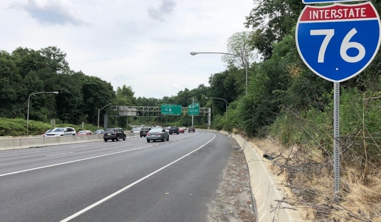
A driver suspected of traveling the wrong way on Interstate 76 slammed head-on into multiple vehicles Saturday before abandoning his car and sprinting into a nearby field, according to Commerce City police. Officers didn't need a high-speed chase to catch him. They used a drone.
The Commerce City Police Department says its Real-Time Crime Center launched a drone remotely from police headquarters once word of the wrong-way crash came in, relying on infrared imaging to pick up the fleeing suspect's heat signature in the field. Drone operators then guided ground officers directly to his location, and he was taken into custody, according to a Commerce City Police Department Facebook post. The department credited the capture to the combination of traditional policing and technology, per the same post.
How the Drone as First Responder Program Works
The capture is the latest demonstration of Commerce City's Drone as First Responder, or DFR, program, which officially launched in May 2025 and operates under Federal Aviation Administration approval for beyond-visual-line-of-sight flights from the city's Real-Time Crime Center. Deployments are restricted to active 911 calls or alerts from Flock Safety automated license plate readers, not routine surveillance, according to the Commerce City government's announcement of the program's rollout. Police Chief Darrel Guadnola emphasized community transparency when the program debuted.
Hoodline previously reported on the department's drone locating a knife attack suspect hiding under a tarp back in February.
A Pattern Along the Same Highway Corridor
This isn't the first time the drone program has intervened on I-76 specifically. In June, Commerce City police used the same remote drone system during a road rage call on the highway to track a felony menacing suspect who had allegedly pointed a firearm at another vehicle, guiding neighboring Brighton police to a traffic stop without launching a vehicle pursuit, according to the department's Facebook account. In August, Chief Guadnola announced an expansion of the department's public safety technology, adding more drone capacity, additional gunshot detection sensors, and expanded license plate camera coverage citywide, continuing to integrate drone feeds with the Real-Time Crime Center.
The department's Drone as First Responder program is intended to reduce the need for risky pursuits. In August, officers used drones and license plate readers rather than chasing a street racer clocked at 100 mph, as Hoodline has reported.
Wrong-Way Crashes a Growing Concern Statewide
Saturday's crash lands amid a documented rise in wrong-way driving incidents across Colorado. Colorado State Patrol data show 116 wrong-way crashes on state-patrolled roadways in 2024, a nearly 20% jump over the prior year, with 58 wrong-way crashes reported so far in 2025, according to 9News. State traffic officials attribute most wrong-way driving events to driver impairment or disorientation.
Adams County, where Saturday's crash occurred, has its own troubling track record on road safety. The county recorded 84 traffic fatalities in 2024, a 38% increase from 2023 that made it the county with the highest total traffic deaths in Colorado that year even as statewide traffic deaths declined overall, according to The Colorado Sun.
Charges Not Yet Clear
It remains unclear what specific criminal charges the driver will face.





