

























































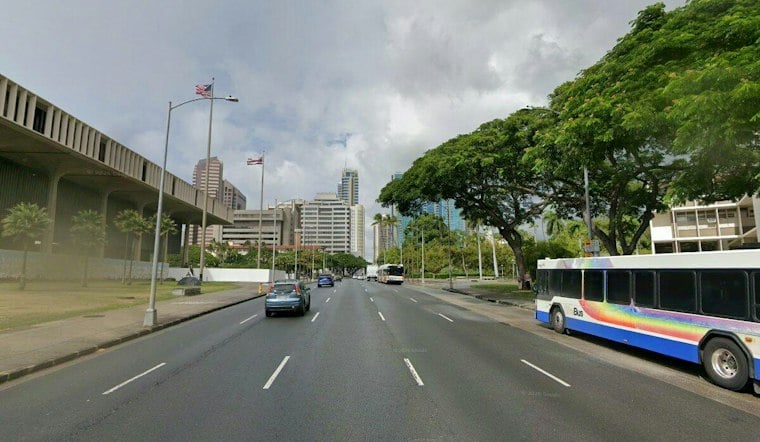
Honolulu is heading into a warm but blustery Thursday, with scattered showers expected before noon and a high near 83 degrees. East-northeast winds will run around 21 mph, with gusts reaching 29 mph, so even the sunny breaks may come with a noticeable island-style shove.
Morning Showers Give Way To Sunshine
Rain chances are highest during the morning, especially near windward and mountain areas, before skies turn mostly sunny around midday. Thursday night could bring another round of scattered showers, with a low near 73 and winds of 17 to 20 mph, gusting to 26 to 28 mph.
The latest outlook is a substantive shift from Wednesday’s forecast, with the wet trade-wind pattern now expected to linger through Saturday. Rainfall should generally stay light, but quick showers may still catch people heading across exposed roads, parks and beach paths.
Strongest Winds Arrive Friday And Saturday
Friday will be another warm day, with a high near 82 and scattered showers before noon. Winds will increase to 15 to 22 mph, with gusts as high as 31 mph, while Friday night may bring clouds and showers, with a low around 74.
Saturday looks similar, with a high near 83, scattered morning showers and east-northeast winds around 21 mph. A Small Craft Advisory is in effect for Oahu’s windward and leeward waters from 6 p.m. Thursday through 6 p.m. Friday, so boaters should check conditions before heading out, especially as trades strengthen.
Drier Weather Builds Next Week
Sunday should be mostly sunny with a high near 82, although northeast winds may still reach 20 mph with gusts up to 26 mph. Limited shower activity is possible Monday through Wednesday, while the pattern turns noticeably drier by Tuesday.
The National Weather Service expects the drier trade-wind pattern to continue through Wednesday. East-facing shores will stay rougher than usual through the breezier stretch, while north and west shores see small surf before another northwest swell arrives next week.





