

























































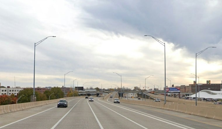
Grand Rapids starts Sunday under cloudy skies with temperatures near 39 degrees, but the chill will ease as the day unfolds. The city should reach the upper 40s before a much warmer, mostly dry stretch takes over the workweek.
Clouds Thin Sunday Afternoon
Sunday will be partly sunny with a high near 48 degrees, though temperatures are expected to slip back toward the mid-40s during the afternoon. Winds will stay light from the north, according to the National Weather Service.
50s Take Over The Workweek
Monday brings mostly sunny skies and a high near 52, with southwest gusts reaching up to 20 mph. Tuesday should be sunny and near 54, followed by a mostly sunny Wednesday with a high around 55. The latest forecast extends the warm-up into Saturday, building on the weekend outlook previously reported by Hoodline. ([hoodline.com](https://hoodline.com/2026/11/partly-sunny-grand-rapids-saturday-before-50s-return/))
Rain Chances Return Late Week
Thursday brings a 20% chance of rain showers, while Friday stays partly sunny near 58 degrees. Saturday could be the warmest day of the period, reaching about 63 degrees with a 40% chance of showers. No watches or warnings are listed for Kent County in the current forecast. ([forecast.weather.gov](https://forecast.weather.gov/product.php?format=ci&issuedby=GRR&product=AFD&site=NWS&version=1&utm_source=openai))



