

























































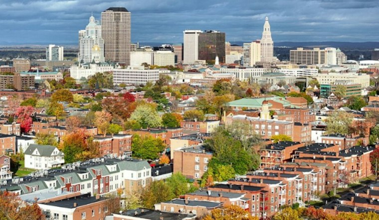
Hartford is forecast to see partly cloudy skies Monday, with a low of 39 degrees, before temperatures climb toward a much softer 68. Mostly sunny skies and a southwest breeze will make it feel more like early fall than November. The catch: a late-week rain system is lining up after several unusually mild days.
Sunny Monday Starts A Warm Stretch
The National Weather Service expects mostly sunny conditions Monday, with temperatures climbing through the 60s before easing to around 62 later in the afternoon. Southwest winds will be breezy at about 9 to 14 mph, and the chance of rain is 0%.
Tuesday should be even warmer, reaching near 70 degrees under partly sunny skies. Wednesday looks like the peak of the mild spell, with sunshine and a high near 71, while overnight lows rise from 42 Monday night to 46 Tuesday night and 53 Wednesday night.
The outlook extends the warm pattern described in Sunday’s Hartford forecast, but the latest update puts a clearer spotlight on the rainier turn ahead. For anyone trying to squeeze in outdoor plans, Monday through Wednesday offer the best window before the umbrellas come back out.
Rain Chances Build Thursday
Clouds increase Thursday, though dry weather is expected to continue through the day. The high should still reach about 71 degrees, with south winds between 3 and 12 mph.
Thursday night brings the most likely rain so far, with a 70% chance and a low near 59. Rain remains likely Friday, when Hartford could reach 70 degrees, followed by a 60% chance of rain Saturday and a high near 71.
Sunday Forecast
Sunday is forecast to reach a high near 59 degrees. Overnight lows are forecast near 46 degrees Saturday and 37 Sunday, a reminder that the November calendar is still in charge even if the first half of the week is dressed like September.
No watches, warnings, or advisories are listed for Hartford. The practical forecast is simple: enjoy the dry, warm stretch through Wednesday, then keep rain gear handy from Thursday into Saturday.



