

























































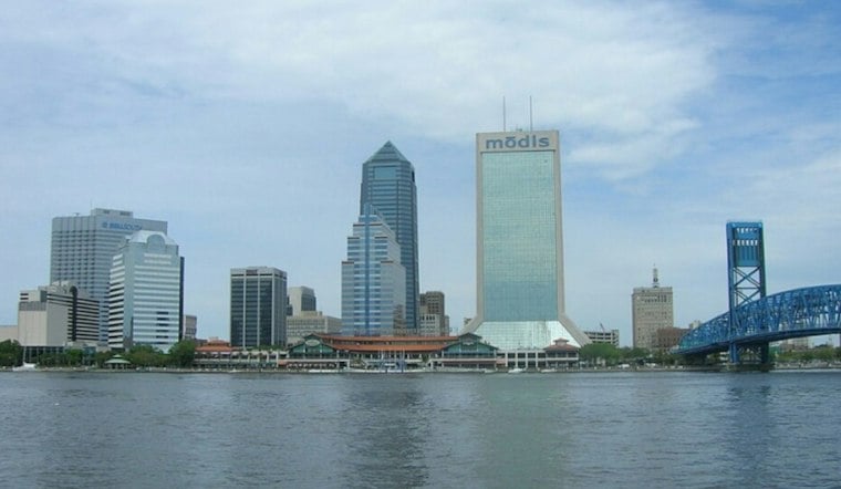
Jacksonville is waking Thursday to cloudy, humid conditions and a little patchy fog before the skies brighten. Temperatures near 67 degrees before dawn will climb to around 85 this afternoon, making for a warm day despite the murky start.
Fog Gives Way To A Warm Afternoon
Patchy fog is expected before 7 a.m., which could briefly reduce visibility for early commuters. After that, the forecast turns mostly sunny with winds becoming southerly and a 10 percent chance of rain across Jacksonville.
Inland areas near the I-75 corridor could see an isolated afternoon thunderstorm, but the city and Atlantic-side communities are expected to remain mostly dry. The National Weather Service Jacksonville also warns that another round of localized dense fog may develop Friday morning, according to the local forecast.
River Flooding Remains The Main Caution
A Coastal Flood Advisory remains in effect through 4 a.m. Friday for parts of the St. Johns River basin. Minor flooding may affect some parks, lots and roads around high tide, so drivers should avoid going around barricades or entering water of unknown depth.
Beach conditions also deserve attention, with a moderate rip-current risk expected to continue through the weekend. Swimmers should stay near a lifeguard and avoid fighting a current if caught in one; floating and moving parallel to shore is the safer move.
Cooler Weather Arrives This Weekend
Thursday night will have a low around 67 degrees. Friday has a high near 85, though a slight chance of showers arrives after 3 p.m. before a front moves through Friday night.
Saturday brings the noticeable shift, with sunny skies and a high near 78 before temperatures dip to around 60 overnight. Sunday looks mostly sunny and cooler, with a high near 74, a change from the wetter and more coastal-hazard-focused setup described in Hoodline's earlier forecast.


