

























































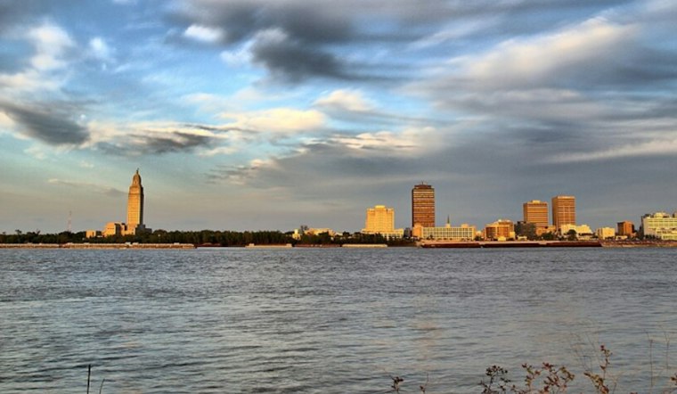
Patchy fog is the main concern for Baton Rouge's early Wednesday commute, with cloudy skies, humid air and temperatures around 68 degrees. A slight chance of showers lasts until the morning commute winds down. The murky start should give way to a mostly sunny afternoon near 79 degrees, before a cooler weekend.
Fog And Visibility Lead Wednesday's Forecast
The forecast calls for patchy fog and a small chance of rain before 9 a.m., followed by improving visibility and sunshine through the afternoon. The National Weather Service in New Orleans says the thickest fog risk is focused farther north and east, including the Northshore and coastal Mississippi, while Baton Rouge's current forecast does not include an active alert.
Where The Fog Advisory Applied
The National Weather Service New Orleans/Baton Rouge said its Dense Fog Advisory ran through 8 a.m. Wednesday for Washington and St. Tammany parishes and Pearl River, Hancock, Harrison and Jackson counties. Baton Rouge was not among the named areas, according to the National Weather Service.
Winds should stay light from the northwest at around 5 mph after the front moves through. Anyone driving early Wednesday should still allow extra space and use low beams if fog lingers in pockets, especially near open fields, waterways and low-lying roads.
Sunny Thursday And Friday, Cooler Weekend
Thursday looks like the week's easiest weather day, with sunny skies and a high near 80. Friday should be similarly warm, reaching about 81 degrees, with little chance of rain in Baton Rouge despite another weak front moving through the region.
The bigger cooldown arrives this weekend. Saturday should be mostly sunny with a high near 75, while Sunday slips to around 69 under mostly sunny skies; overnight lows fall to about 50 Saturday night and 47 Sunday night.
How The Weekend Lows Compare With October Normals
The previously cited National Weather Service October 12 climate normals are not date-matched to this Wednesday, November 4 forecast. For November 4, the NWS lists Baton Rouge normals of 74°F for the high and 51°F for the low, with a record high of 91°F in 2024 and a record low of 27°F in 1991, according to the National Weather Service. The forecast lows of about 50°F Saturday night and 47°F Sunday night are 1 and 4 degrees below the November 4 normal low, respectively; that is a date-specific benchmark, not a weekend-specific average.
A Sharper Turn From Tuesday's Storm Setup
Tuesday's outlook focused on showers and thunderstorms arriving overnight. The forecast has since shifted to a longer dry stretch as the front moves through the Baton Rouge area; Hoodline reported the earlier storm setup Tuesday.
Monday and Tuesday should remain mostly sunny, with highs near 71 and 74 degrees, respectively. In other words, Baton Rouge gets one more warm afternoon Wednesday, two sunny days in the 80s, and then a distinctly more fall-like weekend.




