

























































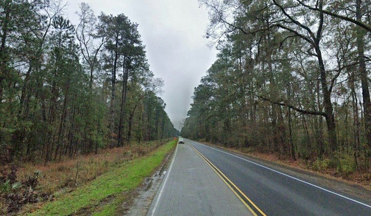
Charleston is waking Saturday, November 7, to pockets of fog that have cut visibility in some spots, including around the Johns Island area. The murk should fade by about 8 a.m., giving way to a partly sunny day with temperatures climbing from around 60 degrees early to a high near 73. No rain is expected.
Fog Gives Way To A Warm Afternoon
The National Weather Service Charleston office says locally dense fog could briefly make driving tricky before sunrise, especially near low-lying areas. Once it lifts, north-northeast winds will keep the afternoon comfortable, with partly sunny skies and no precipitation in the forecast.
Saturday night turns mostly clear, with temperatures falling to around 51 degrees. Boaters should expect a breezier setup offshore, where gusts could reach 15 to 20 knots and seas could run 3 to 5 feet, though no marine advisories are posted. The latest details are available from the National Weather Service.
Sunny Sunday Leads Into A Warm Week
Sunday brings the weekend's cleaner outdoor forecast, with sunshine, lighter northeast winds and a high near 70. Sunday night should be mostly clear with a low around 51, setting up another mild start to the workweek.
Monday and Tuesday are expected to reach about 75 degrees under mostly sunny to sunny skies, while Veterans Day on Wednesday stays mostly sunny with a high near 74. The stretch is a meaningful shift from Friday's storm threat and updates the earlier weekend outlook in Hoodline's previous Charleston forecast.
Cooler Air Arrives Late Week
Thursday remains mostly sunny with a high near 71. By Friday, November 13, temperatures are expected to top out near 65 degrees.




