

























































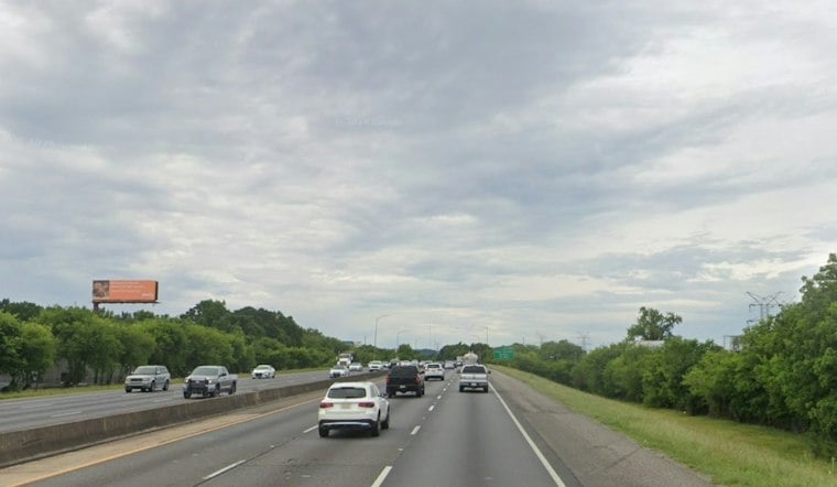
Birmingham started Thursday under fog and mist, with temperatures around 58 degrees before skies clear and the city warms into the low 70s. The dense fog advisory was in effect through 9 a.m. Thursday and has expired, as dense fog affected Birmingham International Airport early Thursday.
Fog Gives Way To A Warm, Sunny Afternoon
The fog should lift by midmorning, with mostly sunny skies and a high near 74 degrees Thursday. The latest outlook leaves only isolated showers in far southeastern counties, rather than Birmingham’s earlier 10 percent rain chance. Temperatures should begin easing back toward the upper 60s late in the day.
Dense fog can make visibility very limited in parts of the Birmingham area. Drivers should use low-beam headlights, slow down and leave extra room between vehicles until conditions improve.
Cooler Air Arrives In Time For The Weekend
Thursday’s warmth will not last. A cooler air mass is expected behind the front. Friday should remain sunny with a high near 72, followed by a high near 65 degrees Saturday.
Cool, dry air is filtering into Central Alabama behind the departing front, leaving only isolated showers in the far southeast. Another fog risk could develop late Thursday night into early Friday, especially in valleys and along rivers, even as Birmingham’s daytime forecast turns mostly sunny. The National Weather Service’s latest area outlook also raises the possibility of patchy dense fog in those low-lying spots.
Saturday night looks like the coldest point of the forecast, with a low around 40 degrees. Sunday rebounds slightly to the mid-60s under sunny skies, while the forecast for Saturday through Monday is mostly sunny or partly cloudy, with lows in the 40s into the first half of next week. The National Weather Service also sees medium confidence in frost or a freeze across large parts of Central Alabama on both weekend mornings, with some locations reaching the low to mid-30s. The regional outlook identifies those two frost-and-freeze windows.
The coldest readings may vary across the metro and the wider region. Birmingham’s point forecast calls for a low near 40 Saturday night, while the National Weather Service sees medium confidence in frost or a freeze across large parts of Central Alabama on both Saturday night into Sunday morning and Sunday night into Monday morning, with some locations reaching the low to mid-30s. Birmingham’s forecast and the regional outlook underscore the difference between the city forecast and colder spots.
The shift marks a substantial update from the earlier storm-focused forecast, with the rain moving out and the weekend now favoring jackets, clear skies and a growing chance of frost in colder spots. Hoodline previously reported on the midweek storms and the coming cooldown.



