

























































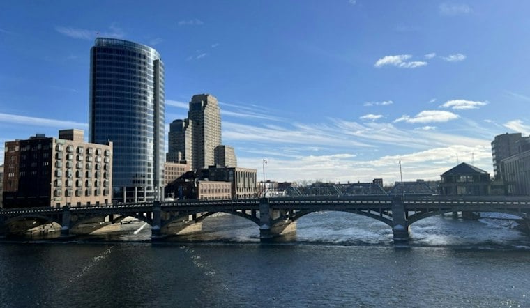
Grand Rapids is waking up cloudy and around 61 degrees Tuesday, but the bigger story is one final 75-degree warmup before light showers move in later Tuesday night and continue Wednesday. South winds will make the day breezy, with gusts near 30 mph, while most of Tuesday should stay dry enough for errands and outdoor plans.
Tuesday Brings A Breezy 75 Degrees
The National Weather Service Grand Rapids forecast calls for partly sunny skies and a high near 75, with south winds around 13 mph and gusts as high as 29 mph. Rain is expected to hold off until later Tuesday night.
A broad area of light showers is expected to move through the lower peninsula Tuesday night and Wednesday. Temperatures will stay unusually mild overnight, falling only to around 63 degrees before rising again toward morning.
Wednesday Looks Like The Wettest Day
Rain showers are expected across Grand Rapids Wednesday, with a 100% chance of precipitation and a high near 69. New rainfall amounts could reach between a tenth and a quarter inch, enough to complicate the morning commute and outdoor plans even without a major storm system.
Showers should ease Wednesday evening, but another round may linger Thursday and Friday. Thursday's high is forecast near 58 with a 50% chance of rain, while Friday tops out around 55 with another chance of showers; no land-based watches, warnings or advisories are listed for the area.
Cooler Weekend Offers A Quieter Reset
Saturday should bring partly sunny skies with a high near 53. Sunday stays near 53 with a small rain chance, while Monday may turn mostly sunny with a high around 56.



