

























































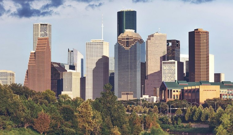
Houston is forecast to have overcast skies and a chance of showers Monday, with a high near 65°F.
Light Showers Could Complicate Monday Plans
Showers are forecast to continue into late afternoon, then taper in the evening.
What the Rain Chance Means
The National Weather Service explains that a precipitation probability applies to a particular forecast point and time period: a 50% chance means a 50% chance of at least 0.01 inch there, not that rain will cover half of Houston or last half the day. That probability is separate from the forecast amount; Monday’s expected rainfall is generally under a tenth of an inch. For historical context, the National Weather Service Houston/Galveston publishes Houston November climate normals based on 1991–2020. The cited climate information establishes that monthly reference, but does not specify the timing or temperature effects of autumn cold fronts.
The current outlook is more consistently shower-prone than the weekend forecast described by Hoodline. No land-based watches, warnings, or advisories are posted for Houston, according to National Weather Service Houston/Galveston.
Tuesday And Veterans Day Warm Back Up
Tuesday is forecast to bring partly sunny skies and temperatures reaching the mid-70s before easing into the low 70s during the afternoon. A slight chance of showers returns Tuesday night. On Veterans Day, Wednesday, the high is expected to reach near 77, with only a small chance of rain before noon.
Cold Front Sets Up Brighter Late Week
A dry cold front is expected late Wednesday night. Sunny, drier weather is forecast Thursday through Saturday, with highs in the low to mid-70s and nighttime temperatures around 53 Thursday night and near 50 Friday night.
Saturday is forecast to be sunny with a high near 71. Sunday's forecast carries a 52% precipitation probability. After Monday’s rain, the rest of the week is expected to bring warmer temperatures midweek and clearer, cooler conditions later on.



