

























































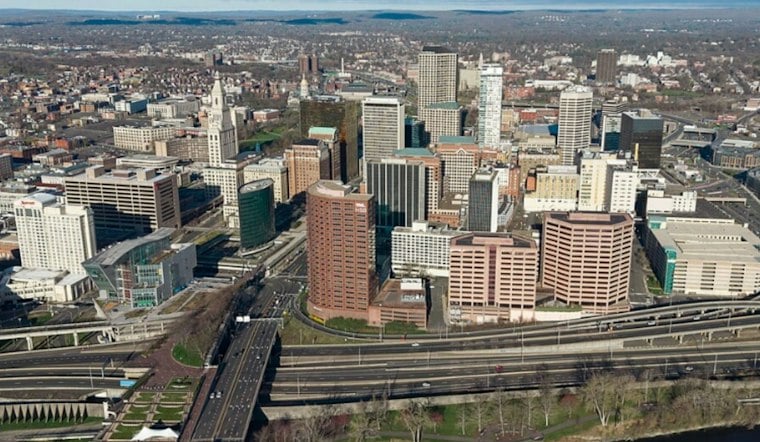
Hartford is starting Wednesday under fair conditions, and sunshine should send temperatures toward 75 this afternoon. The early reading was about 50 degrees at 5:53 a.m.; visibility was near 8 miles. South winds build later in the day. By Thursday, the forecast starts turning wetter.
Sunshine Arrives After A Fair Start
As the day goes on, Wednesday should be sunny and unusually warm for early November, with inland highs of 71 to 75. The National Weather Service says Hartford/Bradley’s record high for Wednesday is 78 degrees, set in 1987, so the city could come close without quite matching it. South-southwest to southwest winds will run 5 to 15 knots, or about 6 to 17 mph.
Tonight remains mild, with partly cloudy skies and a low near 57. Thursday brings increasing clouds; rain is expected Thursday evening at the earliest in western Massachusetts and Connecticut. Gusts could reach 23 mph Thursday afternoon.
Rain Takes Over Thursday Night
The more consequential change arrives Thursday night, when rain becomes likely after 9 p.m. and the chance rises to 60%. Friday looks like the wettest day, with rain, mostly cloudy skies, a high near 70 and a 90% chance of precipitation.
The weather service’s broader forecast discussion says parts of central and eastern southern New England could eventually see 1 to 3 inches of rain from Thursday into Saturday, though the heaviest stripe remains uncertain. Localized downpours are possible, and blocked drains could contribute to poor-drainage or urban flooding. No watches, warnings or advisories are currently posted for Connecticut.
Weekend Cooldown Starts Sunday
Saturday keeps a chance of showers, with a high near 65, while Sunday begins with a slight rain chance before turning mostly sunny near 59. Cooler air arrives Sunday night, when temperatures drop into the mid- to upper 40s, followed by mostly sunny highs in the upper 50s Monday and in the 50s Tuesday.
For Hartford residents, Wednesday is the cleanest window for outdoor plans before the forecast shifts from flip-flop weather to umbrellas. A previous Hoodline forecast had already flagged the late-week washout, but this update brings a firmer signal for rain Thursday night through Friday and a cooler finish to the weekend.



