

























































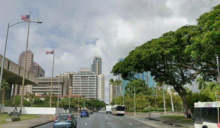
Honolulu is starting Thursday under mostly cloudy skies, with a few quick showers possible before noon and a high near 84 degrees. The bigger story is the wind: breezy trades are expected to continue through Thursday night.
Quick Showers, Then A Brighter Afternoon
Rain chances are highest Thursday morning, but the forecast calls for isolated showers and generally light rainfall. Skies should turn partly sunny later in the day, while overnight temperatures settle near 75 degrees.
Trades Strengthen Into Friday
Friday looks partly sunny with another high near 84 degrees as trades strengthen. The National Weather Service says a disturbance passing well south of the islands and high pressure building northwest of the state could keep winds especially strong into Saturday.
Showers may focus on windward areas, while winds should ease to more typical breezy levels after the system passes west of the state Saturday into Sunday.
Coastal Conditions Stay Rough
A High Surf Advisory remains in effect through 6 a.m. Friday for Oahu’s North Shore and Waianae Coast, among other exposed shorelines. A Small Craft Advisory covers Oahu’s windward and leeward waters through 6 a.m. Saturday, so boaters should expect choppy and potentially hazardous conditions.
Drier Pattern Arrives Next Week
Compared with Hoodline’s earlier Honolulu forecast, the latest outlook puts stronger winds and active surf advisories front and center. After Saturday, a drier pattern is expected to settle in, with limited showers near windward and mauka areas into next week.
For Honolulu residents, a light rain layer may still earn its keep during the morning commute, while gusty winds could make beaches and exposed outdoor areas less comfortable than the thermometer suggests. Secure loose outdoor items and check coastal conditions before heading out, especially along exposed north, west and east-facing shores.



