

























































An estimated 303,782 people used Knoxville’s Urban Wilderness trails in 2021, according to Headwaters Economics. In its accounting of trail activity, the study attributed 51% to mountain biking, 38.4% to walking and 10% to running; it also found that roughly seven in 10 users of the trails and bike park were male.
The Urban Wilderness comprises more than 60 miles of multi-use trails in South Knoxville. Its routes cross public and private land, with partnerships among landowners, nonprofits and local government supporting the network, according to the Appalachian Mountain Bike Club. The city’s broader greenway system extends more than 120 miles, connecting neighborhoods, parks and destinations, the International Cycling Safety Conference site says.
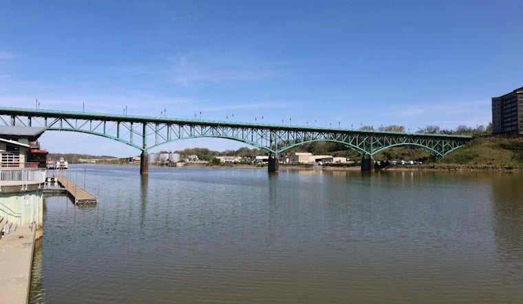
A downtown link in that network is the Gay Street Bridge, which is open to pedestrians and bicyclists rather than motor traffic. The city spent $2.7 million to stabilize the bridge for that use, Knox News reported.
The trails also figure in Knoxville’s reported economic activity. Streetsblog USA reported that, as of 2023, the Urban Wilderness generated more than $8.3 million in annual spending and $14.7 million in total regional output. The outlet also described the Urban Wilderness Gateway Park Project, about two miles from downtown, as a plan to convert underused freeway capacity into a linear park and bikeway connection.
What crash records show
Separate from trail use, the Knoxville Regional Transportation Planning Organization reported 85,700 traffic crashes in its planning region from 2020 to 2024, including 55,500 in Knox County. Those regional totals do not specify how many crashes involved people biking or how many were injured or killed.
A separate Knoxville Regional TPO report counted 196 crashes involving pedestrians or bicyclists in unincorporated Knox County between January 2011 and June 2019, including 37 involving bicyclists. These figures do not provide a biking-only injury or fatality total, and they do not identify specific crash locations.
What the crash data can—and can’t—show
The material cited here does not include a recent U.S. bicyclist-death total, so the Knoxville crash counts should not be treated as a national fatality figure. They cover different periods and areas, and neither count establishes how many bicyclists were killed. The Knoxville Regional TPO says its interactive crash map allows users to filter reported crashes by mode and location, with data dating back to 2015. For street-design context, the Knoxville Regional Transportation Planning Organization identifies Cumberland Avenue, completed in 2017, and the Central Street remake, completed in 2019, as local examples of complete streets. Those examples and completion dates do not, by themselves, establish project funding or formal adoption of a broader policy, according to the TPO.
The conference in context
Knoxville hosted the 14th International Cycling Safety Conference from Tuesday through Thursday, with related events around the main sessions, according to the conference site. The site identifies this as only the second time the gathering has been held in the United States. The first U.S. conference took place in Davis, California, in 2017, according to UC Davis.
The program brings cycling safety professionals together for sessions and local excursions. The conference site presents Knoxville’s recreational riding and greenways as the setting for discussions about safer cycling infrastructure. Trail-use figures describe activity on recreational routes; they do not, on their own, measure safety on city streets.




