

























































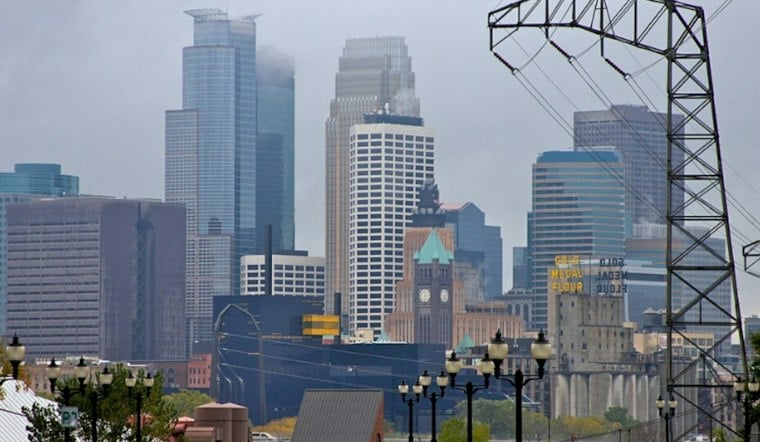
Minneapolis woke Wednesday to fog, mist and another round of rain, with temperatures hovering in the low 50s. The soggy pattern sticks around through the day before a colder, quieter stretch arrives for the weekend.
Rain And Fog Hang On Through Thursday
Wednesday brings a high near 55 degrees, a 90% chance of rain and west-northwest winds around 5 to 10 mph. Visibility may stay reduced at times as rain and patchy fog move through the city, so the morning and afternoon commutes could be slower than usual.
The National Weather Service says rain will continue Wednesday night before changing to drizzle after midnight, with north-northwest winds increasing to 10 to 15 mph. Another half-inch to 1 inch of rain could fall across the region through early Thursday, though no watches, warnings or advisories are posted.
This extends the wet stretch outlined in an earlier Hoodline forecast, with Thursday now looking more like a cleanup day than a fresh soaking. Thursday should stay cloudy with a high near 49, while lingering drizzle is possible early before drier conditions take over later.
Colder Nights Arrive Before Weekend Sun
Friday turns mostly sunny but cooler, with a high near 46 and light northeast winds. The temperature could fall to around 31 degrees Friday night, setting up the coldest morning of the stretch and a chilly start to Saturday.
Saturday should rebound to near 49 under mostly sunny skies, followed by a sunny Sunday with a high around 53. The mild-up continues Monday, when Minneapolis could reach 58 degrees under mostly sunny skies, giving residents a brief reprieve from the umbrellas before the next forecast change.




