

























































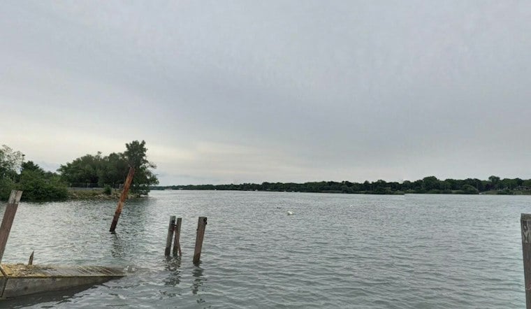
Detroit is waking up under gray skies Friday, with temperatures in the low 40s and a raw northwest breeze setting the tone for a cooler finish to the workweek. The city is headed for a high near 48 degrees, with a slight chance of light rain arriving after 5 p.m.
Afternoon Clouds Keep Friday Feeling Chilly
The National Weather Service Detroit/Pontiac expects northwest winds of 8 to 12 mph, with gusts reaching around 20 mph. Rainfall should be light, with less than a tenth of an inch possible, but the breeze may make the day feel closer to 40 degrees.
Friday night brings another chance of light rain before 3 a.m. Saturday, followed by a low near 37 degrees and occasional gusts up to 25 mph. Saturday will stay mostly cloudy with a high near 52, so outdoor plans may need a jacket even if the umbrellas can mostly stay home.
Sunday Brings The Weekend Turnaround
The forecast improves sharply Sunday, when Detroit should see mostly sunny skies and a high near 58 degrees with no meaningful rain chance. Monday stays mostly sunny near 59, and Tuesday is currently shaping up as the warmest day of the stretch at about 62 degrees.
That is a notable upgrade from the cooler, wetter setup taking over Friday. The latest outlook is a substantive update to Hoodline's Thursday forecast, trimming Friday's expected high and rain odds while extending the milder, drier pattern into early next week.
Boaters Should Watch Lake Conditions
Small Craft Advisories remain in effect across parts of Lake Huron through Saturday afternoon, with another advisory scheduled for Lake St. Clair from Friday night into Saturday morning. Land-based watches, warnings and advisories are not listed for Detroit, but boaters should expect elevated winds and rougher water around the lakes.



