

























































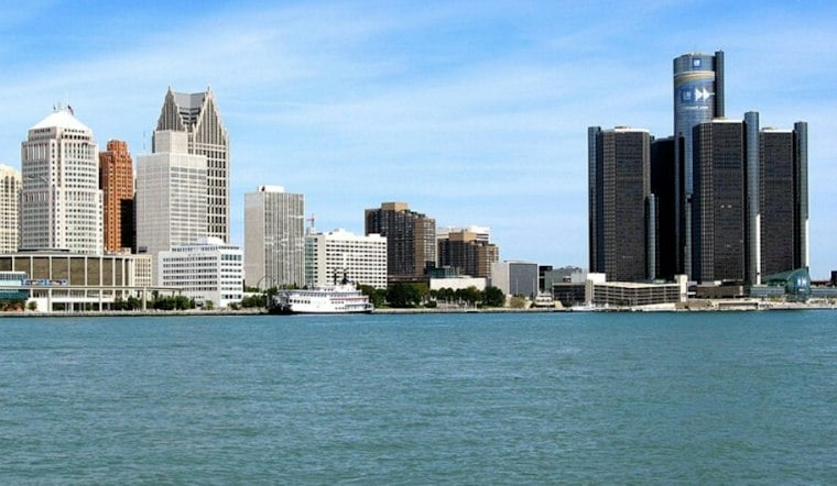
Detroit is starting Thursday under cloudy skies and a brisk southwest breeze, with temperatures in the mid-50s early in the day. The city may reach near 59 degrees, but readings are expected to slide into the mid-50s by afternoon. A few light showers could show up after noon, so the warm spell is already showing signs of packing its bags.
Showers Arrive Late Thursday
Rain chances increase Thursday afternoon and evening, with the best odds arriving after dark. The National Weather Service Detroit/Pontiac puts Thursday night rain chances near 60%, with less than a tenth of an inch possible and temperatures bottoming near 42 degrees before rising overnight. Winds should ease from gusts up to 26 mph during the day to around 9 mph from the west Thursday night.
Friday stays mostly cloudy and cooler, with a high near 52 and a 50% chance of rain. Northwest winds of 8 to 12 mph could gust near 20 mph, making the day feel colder than the thermometer suggests. A few showers may linger Friday night and fade before 7 a.m. Saturday.
Sun Returns For The Weekend
Saturday will remain mostly cloudy with a high near 52, then skies should gradually brighten. Sunday is the weekend standout: sunny and near 58 after a chilly low around 35 Saturday night. The outlook turns milder and drier Monday and Tuesday, with highs near 59 and 63, followed by a mostly sunny Veterans Day near 56.
The sharper turn from unseasonably warm conditions is the main story for metro Detroit this week. An earlier Hoodline forecast highlighted a 75-degree Tuesday as the warm-weather finale; this update puts the focus on a rainy, cooler finish to the workweek before sunshine returns.



