

























































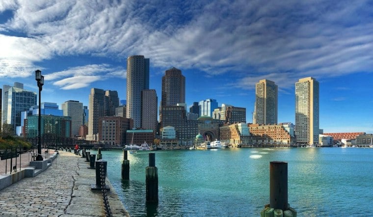
Boston is waking up to clear skies Monday, with temperatures near 48 degrees early and a warm afternoon ahead. The city should reach about 68 degrees under mostly sunny skies, making this feel more like a late-season encore than the first Monday of November.
Warmth Builds Through Wednesday
Southwest winds will run around 8 to 12 knots Monday, with sporadic gusts in the low 20s knots. The mild pattern continues Tuesday with a high near 69, followed by the warmest day of the stretch Wednesday, when Boston could reach 73 degrees under sunny skies.
Some low-70s readings are possible across the region.
How Unusual Is the Warmth?
The National Weather Service Boston/Norton climate report lists a normal high of 56°F for Nov. 2, 2026, and a record high of 83°F set in 1950; for Nov. 1, it lists a record high of 79°F set in 2024. Those daily benchmarks put the forecast high near 68 in context, but the cited entries do not establish how often Boston reaches 70°F or higher in November or provide records for every date in the month. The 2025 Massachusetts State Climate Summary reports that the state’s annual average temperature has risen about 3.5°F since the beginning of the 20th century. That statewide, long-term trend does not explain this particular Boston warm spell; the supplied research also does not provide Boston’s normal November precipitation for comparison with the weekend rain forecast.
Unsettled Weather Arrives Friday
Thursday remains mild, with partly sunny skies and a high near 71. Dry weather should continue through Thursday, though the aviation outlook includes only a slight chance of rain.
Friday looks mostly cloudy and wet, with a 70% chance of rain and a high near 69. Rain remains likely Saturday as temperatures ease back to about 63, while spotty showers may linger as late as Sunday.
For now, lighter layers and sunglasses should do the job through Wednesday; an umbrella becomes the more useful accessory late Thursday into the weekend.





