

























































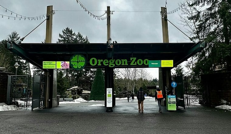
Oregon wildlife officials are asking drivers to do something most people would rather avoid: stop and photograph roadkill. The Oregon Department of Fish and Wildlife and the Oregon Zoo have teamed up on a statewide effort to track where animals are dying on Oregon roads, hoping the data can pinpoint the deadliest stretches of highway for wildlife and guide future safety fixes.
The initiative, called Roadkills of Oregon, encourages anyone who spots a dead animal along a roadway to photograph it and log the location, then upload the image through the free iNaturalist app, according to iNaturalist. Submitters are encouraged to document exactly where the photo was taken using a map, their phone's geotagging feature, or GPS, per myodfw.com. The goal, officials say, is to identify roadkill hot spots and vulnerabilities among different wildlife species that current state tracking might miss.
That gap matters because, as the Oregon Zoo notes, the state currently only tracks road fatalities involving large animals like deer and elk — leaving out everything from songbirds to amphibians to the occasional porcupine. The zoo's own estimate is stark: each year, Oregon's roads claim the lives of hundreds of thousands of animals, from butterflies to bears, the zoo says in a report posted to oregonzoo.org. A separate estimate reported by OPB puts the number far higher, citing ODFW's estimate that 14.5 million wild vertebrate animals are killed on Oregon's roadways annually — a sharp divergence that reflects different scopes and methods rather than a single agreed-upon count.
Why November Matters for Oregon Drivers
The timing of the public push lines up with the state's most dangerous season for wildlife-vehicle collisions. ODFW says collisions with deer and elk tend to peak in October and November, as migration and breeding season send animals moving across roads more often, the agency notes in a release. Nationally, collisions increase roughly 16% in the week following the end of daylight saving time, according to a report cited by the East Oregonian, which also reported that Environment Oregon organized a weeklong count in which volunteers from Elgin to Central Point logged animals they saw alive or dead along the road.
Justin Boyles says there are at least 6,000 collisions with large animals such as deer or elk in Oregon. ODOT's collision-density mapping layer, which tracks carcass dispatch reports from the five most recent years on state highways, is one of the tools officials use to visualize where crashes cluster, according to Oregon Department of Transportation GIS data.
A Frog Underpass and Other Fixes Already in Place
As KGW reported, officials hope the crowdsourced reports can eventually point toward infrastructure solutions similar to ones already built in Oregon. Near Burlington, an under-road wildlife crossing structure was installed by ODFW and other partners in late 2024 to mitigate Northern Red-legged Frog mortality along Route 30, according to a presentation hosted on PDXScholar. Researchers monitored that crossing using two optical sensor cameras and detected Northern Red-legged Frogs moving through the structure — a species ODFW says loses hundreds of individuals to vehicles annually as frogs migrate between breeding and non-breeding habitat.
Further south, wildlife crossings on Highway 97 near Sunriver have helped reduce wildlife-vehicle collisions by nearly 90 percent, ODFW reports. But Oregon still lags behind other Western states in building this kind of infrastructure. Oregon has just six wildlife crossings, while Montana, Colorado and California each have more than 100, according to OPB. The same report notes that ODOT is expected to begin construction in 2028 on a wildlife overpass across Interstate 5 within the Cascade-Siskiyou National Monument.
How the Data Could Shape Future Road Safety
Officials hope the new crowdsourced photo reports can add more current, species-specific detail to the state's existing large-animal tracking.
For now, the ask to Oregonians is straightforward: if you see a dead animal on the roadside, snap a photo, note the location, and upload it. Whether that adds up to a clearer map of Oregon's most dangerous roads for wildlife — and ultimately more crossings like the ones near Burlington and Sunriver — will depend on how many drivers decide to participate.





