

























































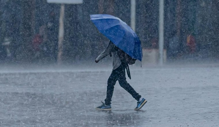
Orlando is heading into a soggy and potentially hazardous Friday, with light rain already falling and rounds of showers and thunderstorms expected through the afternoon. Temperatures near 70 degrees early will rise only to about 75, while a Flood Watch remains in effect through Friday evening as heavy rain falls on already saturated ground.
Heavy Rain And Flooding Threaten Central Florida
The forecast calls for a 90% chance of rain Friday, including early showers. The National Weather Service in Melbourne forecast mentions early showers, with rain possible Friday night.
Orange County is included in the regional Flood Watch, and repeated downpours could quickly overwhelm low-lying roads, drainage areas and already swollen waterways. Additional rainfall through Saturday is forecast at 2 to 4 inches nearly area-wide and 4 to 6 inches along the Volusia and Brevard coasts, with a 10% chance of localized totals exceeding 6 to 8 inches.
Gusty Winds Add To Friday’s Rough Conditions
The NWS describes northeast winds of 10 to 20 mph with gusts of 20 to 30 mph across much of the area, and winds of 15 to 25 mph with gusts of 35 to 40 mph in northern coastal areas. The combination of heavy rain, reduced visibility and standing water could make the Friday commute difficult, so drivers should avoid flooded roads and never attempt to cross moving water.
Weekend Weather Improves After Friday’s Rain
Winds are expected to be northeast, with variable winds later. Showers and thunderstorms may linger Friday night, with a low near 67. Saturday brings a 40% chance of rain showers and a high near 76, but conditions should begin improving by Saturday night.
Sunday and Monday look mostly sunny with highs around 77 degrees. A few showers could return Tuesday and Wednesday.





