

























































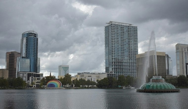
At 5:53 a.m. Saturday, Orlando Executive Airport had fog and mist, visibility of 5 miles and a temperature of 70 degrees. The forecast calls for a warm, humid day with a high near 78, but showers become more likely late morning and into the afternoon. It is not a total washout, though saturated ground means even another round of moderate rain could create problems.
Showers And Storms Build Saturday Afternoon
The National Weather Service gives a 30% to 60% chance of rain locally Saturday, with the highest chances south of Orlando and Cape Canaveral. Showers and storms are possible today, with the highest activity between 1 p.m. and 8 p.m. Southwest winds will be around 10 mph, while the strongest storms could bring lightning, 40-to-50 mph wind gusts and small hail.
Flooding remains the more immediate concern in already waterlogged parts of east-central Florida. River flood warnings continue along the St. Johns River near Cocoa, Geneva, Astor, DeLand and Sanford, and forecasters warn that additional rainfall could push water levels higher; some areas across the region could pick up 0.5 to 2 inches, with locally higher totals possible.
Beach Plans Still Carry A Serious Warning
Anyone heading toward the Atlantic should take the coastal forecast seriously. A high risk of rip currents continues along the entire east-central Florida coast, and forecasters say entering the ocean is not advised; offshore seas of 7 to 8 feet will also keep boating conditions rough through Saturday and into the overnight hours.
Sunday And Monday Offer A Brief Reset
The weather turns noticeably calmer Sunday, with mostly sunny skies, a high near 77 and west winds of 5 to 10 mph. Monday should stay dry but mostly cloudy, with a high near 75, offering a quieter stretch after the weekend rain threat described in earlier Hoodline coverage.
Rain Chances Return Before Thanksgiving
Clouds linger Tuesday, when Orlando could reach 76 degrees, and rain chances begin to increase again Tuesday night. Wednesday brings a chance of showers and a high near 74 before cooler, drier weather arrives for Thanksgiving Day, which is expected to be partly sunny with a high near 71.
For Saturday, an umbrella and extra travel time are sensible bets, especially where roads have already collected water. Drivers should never cross flooded roadways, and beachgoers should stay out of the surf while the rip-current danger remains high.




