

























































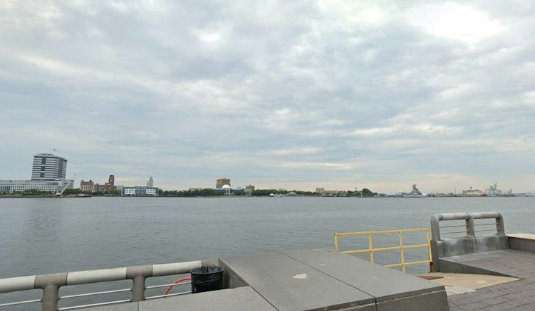
Philadelphia is starting Friday with light rain, fog and temperatures in the mid-40s, and the wet weather is not planning a quick exit. Rain will continue through the day as temperatures top out near 44 degrees, making for a gray, chilly finish to the workweek.
The National Weather Service expects north winds of 10 to 15 mph, with gusts reaching 25 mph. Rainfall could total less than half an inch across Philadelphia through Friday, so slick roads, reduced visibility and soggy sidewalks are likely to be part of the commute.
Rain Lingers Into Friday Night
Rain is likely to continue before midnight, then taper as clouds hold temperatures near 37 degrees overnight. The damp air will gradually give way to a colder pattern, with Saturday bringing partly sunny skies, a high near 47 and northwest gusts up to 30 mph.
New Jersey Coast Faces Tidal Flooding
The New Jersey Coastal Flood Advisory for NJZ020-026 expired at 2 p.m. EST Thursday, November 12, 2026, and was not in effect Friday, November 13. Philadelphia is not under those coastal alerts, but anyone heading toward the shore should expect rougher conditions and check the latest advisories before traveling.
Brighter Skies Arrive Next Week
Sunday looks mostly sunny with a high near 50, followed by highs in the upper 40s to low 50s Monday and Tuesday. The forecast then turns notably milder by Wednesday and Thursday, when highs could reach 60 and 61 degrees, respectively.
The sharper rain-and-wind timing is a substantial update to Hoodline's earlier forecast, which had outlined the coastal storm's approach before the wetter pattern settled over the city.



