

























































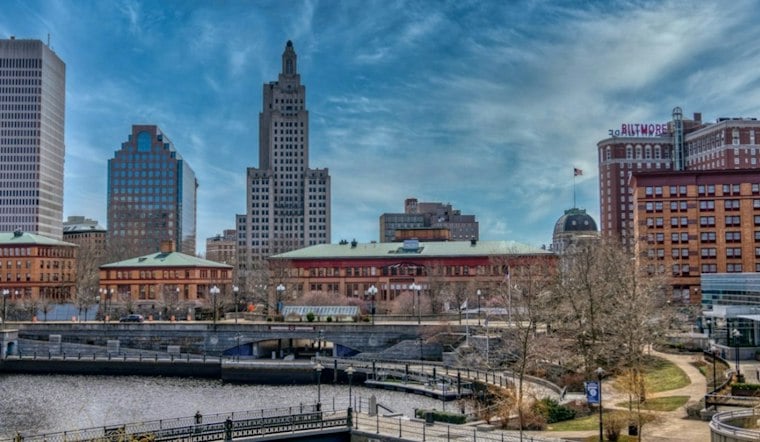
Providence’s clearest stretch for outdoor plans is forecast for Monday through Wednesday, before rain chances rise later in the week. Monday starts near 45 degrees under clear skies, with a southwest breeze around 17 mph; sunshine is expected to bring the high near 68. Rain is not a meaningful concern today, according to the National Weather Service.
Dry weather early, higher rain chances later
Monday is expected to stay mostly sunny, with southwest winds of 5 to 9 mph. Tuesday’s forecast calls for mostly sunny skies and a high near 70; Wednesday is expected to reach about 72, the warmest day in the outlook. Forecast lows rise from about 46 Monday night to 53 Wednesday night, according to the National Weather Service. The midweek temperatures are slightly higher than in Sunday’s Providence forecast.
Thursday’s high is forecast near 71 degrees, with partly sunny skies and only a small chance of daytime rain. Showers are likely Thursday night, as temperatures settle near 58. Friday is expected to bring likely rain and a high around 70. Rain is also likely Friday night, with a low near 54. Saturday’s forecast is unsettled, with rain likely, mostly cloudy skies and a high around 63. A rain chance may continue Saturday night. Sunday is forecast to turn mostly sunny, with a slight chance of an early-morning shower and a high around 62.
What rain could mean locally—and what the forecast does not establish
The timing matters for planning, but the forecast does not establish how much rain will fall or whether it will cause flooding or sewer overflows. The Narragansett Bay Commission says heavy rain can push flows in Providence’s combined sewer system beyond capacity, leading to overflows into local rivers and Narragansett Bay. The U.S. Environmental Protection Agency describes the Providence Combined Sewer Overflow Phase IIIA project as including a deep-rock tunnel, shafts, a pump station and collection-system improvements intended to contain combined flows during rain events for later treatment.
Past flooding illustrates possible disruption, not what will happen this week. The Rhode Island 2025 State Climate Summaries report that around 8 inches of rain fell in Providence on September 5, 2022, causing flash flooding, displacing residents and temporarily closing Interstate 95. In a separate event on July 10, 2023, The Boston Globe reported that cars were trapped in floodwater on Providence’s Wilbur Avenue Bridge and Narragansett Avenue. Those incidents are dated examples, not evidence that this week’s forecast will bring comparable conditions.
The same state climate summary reports that Rhode Island’s annual average temperature has increased about 4°F since the beginning of the 20th century, while statewide annual precipitation has generally been near or above its long-term average since the 1970s. Those statewide, long-term measures do not establish the cause of this week’s warmth or rain, describe Providence’s November pattern specifically, or show whether this forecast is unusual. For now, Monday through Wednesday offer the clearest expected dry window; late-week plans may need to account for showers.





