

























































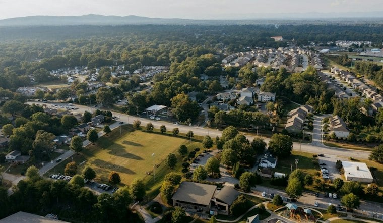
Richland County Council voted unanimously Thursday to approve a zoning change that clears the way for up to 147 homes on 24.6 acres along Koon Road, shifting the property from Homestead zoning to a designation that allows moderate-intensity residential development. The vote came despite pushback from nearby residents who say the area already struggles with flooding.
The rezoning, approved on Nov. 19, moves the parcel into Residential Three territory, according to WLTX. County staff had previously classified the land as Homestead before the council's action changed its designation and opened the door to the higher-density project.
Richland County’s Land Development Code describes R3 as a district for moderate-intensity residential development, but the zoning change is not itself a final construction approval. The code requires development proposals to meet applicable land-development standards, and land-disturbing work requires a permit and an approved stormwater pollution-prevention plan. The county’s current code took effect March 1, 2024, so the project’s next steps will be reviewed under that framework. Richland County’s Land Development Code sets out the district and permitting rules.
Councilman Frames Project as Extension of Existing Development
District 1 Councilman Jason Branham told the outlet that the 24.6-acre tract is only a portion of a larger property already zoned for residential use, framing the project as a continuation of development already underway in the area rather than an entirely new footprint. Branham said he spoke directly with the public ahead of the vote and relayed details provided by the developer and builder, according to the same report.
Branham also said the developer plans to work with the South Carolina Department of Transportation on road improvements, which he said are meant to bring local roads up to community-use standards and accommodate the population the new homes would bring. Specifics on design, funding, or timing for those improvements were not detailed in the account.
Residents Point to Years of Worsening Runoff
Not everyone welcomed the decision. Nearby residents raised concerns about environmental impacts tied to the project, particularly flooding, the report states. A resident identified as Taylor said nearby development has caused increased runoff and flooding over the past 10 to 15 years, and added that rain already increases flooding on local streets and in neighborhoods near the site.
A county staff report cited by the station put Koon Road's 2025 traffic volume at about 8,200 vehicles per day, close to its listed capacity of 8,600 vehicles per day. How the added homes might affect that traffic count was not addressed in the available reporting.
Drainage review is a separate part of that process. Richland County says its Land Development Division reviews plans and inspects new development in unincorporated areas for compliance with local, state and federal rules. That review may address runoff controls, but the zoning vote itself does not establish what drainage facilities this site will need. The county’s stormwater and land-development program describes its review and inspection role.
The zoning change clears a major regulatory hurdle for the Koon Road project, but questions about construction timing, the final number of homes, and the scope of any road or drainage work remain unanswered for now.
Floodplain rules provide another layer of review if any part of the property falls within the county’s mapped floodplain overlay: a floodplain development permit is required before development there. But mapped flood zones are not the only possible source of flooding. Richland County identifies stormwater backup and overflow from ditches and small streams among local flood hazards that can occur outside mapped special flood hazard areas. The parcel’s flood-zone status and drainage design therefore remain important details as plans advance. Richland County’s flood guidance explains both mapped-zone permitting and other local flood risks.




