

























































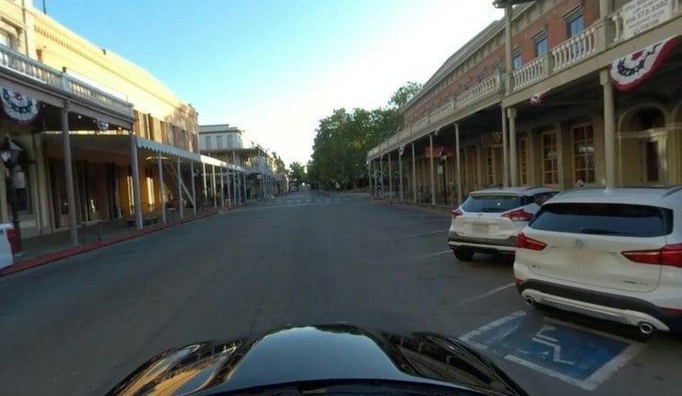
Sacramento woke Thursday to heavy rain, fog and a slick morning commute as a powerful storm moved across the region. Conditions felt near 50 degrees, while south winds were forecast at 10 to 20 mph, with gusts up to 35 mph. The wet and unsettled weather is expected to continue through much of the day.
The National Weather Service discussion notes a chance of thunderstorms Thursday, while rain is expected through the morning. Sacramento is forecast to reach a high near 55 degrees before temperatures slip into the low 50s. The update adds sharper timing to the storm described in Wednesday’s Hoodline forecast.
Thunderstorms Could Return Thursday Afternoon
The bulk of precipitation is forecast to exit the Valley by late Thursday morning, but scattered showers and thunderstorms could redevelop between 1 p.m. and 4 p.m. Forecasters say stronger cells cannot be ruled out, with possible lightning, quarter-size hail, sudden wind bursts and a brief tornado. The risk is limited, but drivers and people outdoors should take the afternoon threat seriously.
Mountain Travel Could Become Extremely Difficult
The storm is bringing far more severe conditions to the Sierra and southern Cascades, where a winter storm warning remains in effect above about 4,000 feet through early Friday. Higher elevations could receive 2 to 4 feet of snow, with gusts reaching 60 mph and visibility dropping sharply. Anyone heading east from Sacramento should expect difficult or impossible travel through the mountains and check road conditions before leaving.
A wind advisory covered parts of the Sacramento Valley, Delta and foothills through 10 p.m. Wednesday, November 18, with gusts potentially reaching 55 mph in the broader region. Low-lying areas near the Delta and connected waterways remain vulnerable to flooding through Friday afternoon. Ponding on roads and clogged storm drains could create localized problems even after the heaviest rain moves out.
Friday Brings A Brief Weather Break
Friday should bring predominantly dry weather late in the day, with a high near 55 degrees.
More Rain Returns This Weekend
Rain is possible Saturday, with timing trending toward the afternoon or evening. Saturday night should remain wet. Drier weather is expected to resume Monday with cooler temperatures, while rain chances return Tuesday night into Wednesday.
For Thursday’s commute, allow extra time, use headlights in heavy rain and avoid driving through water covering the roadway. Loose outdoor items should be secured before the strongest winds arrive, and mountain travelers should be prepared for rapidly changing conditions.





