

























































Residents in parts of Sedona were ordered to evacuate Sunday morning as rapidly rising waters in Oak Creek prompted evacuation orders for parts of the city's east side. Evacuation Zones 8, 9 and 10 were placed in “GO” status, meaning anyone still in those areas needed to leave immediately.
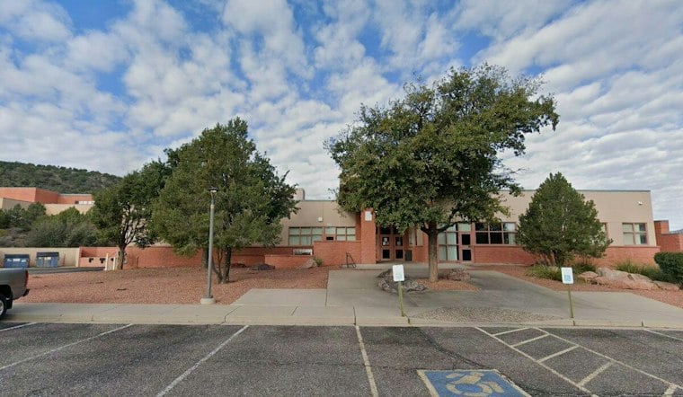
According to AZ Family, the affected zones mostly cover the neighborhoods surrounding Oak Creek itself, the waterway most directly threatened by the surge. City officials established an evacuation shelter at Sedona Red Rock High School for anyone displaced by the rising water, and residents were urged to avoid washes and creek beds while drivers were warned not to attempt crossing roads covered by rushing water.
A Flash-Flood Warning Backed by Inches of Rain
The National Weather Service office in Flagstaff had issued a flash-flood warning for Coconino and Yavapai counties that remained in effect until 11:15 a.m. MST, according to a bulletin logged by defconlevel.com. By 8:15 a.m., between 1.25 and 2.5 inches of rain had already fallen across the warned area, with forecasters cautioning of life-threatening flash flooding in creeks, streams, normally dry washes, urban areas, highways, streets and underpasses.
The warning zone stretched well beyond Sedona proper, also covering Uptown Sedona, the Sedona Airport, Cornville, Jordan, Page Springs, Bignotti, Indian Gardens and Pine Flats. Waterways named in the alert included Oak Creek, the Verde River, Dry Creek, Turkey Creek, West Fork Oak Creek and Spring Creek — a reminder that the flooding threat was never confined to a single stream.
Observed Water Levels and Forecasts
The National Weather Service bulletin reported Oak Creek at Sedona at 15.06 feet at 7:45 a.m., above its 14-foot flood stage; at Cornville, it was 8.88 feet at 8 a.m., above that gauge's 8-foot flood stage. Weatherboy separately projected the Sedona gauge to crest at 13.94 feet, just shy of flood stage, and Cornville to crest at 11.91 feet by 8 p.m. Sunday.
Weatherboy's reporting tied the surge to an unusually strong atmospheric river that poured heavy rain across Arizona and southern Utah, with the Weather Prediction Center placing portions of both states under a Moderate Risk, level 3 of 4, for excessive rainfall. The agency measured moisture levels at 4 to 6 standard deviations above normal for early November, a sign of just how saturated the ground already was heading into the storm.
Residents Later Allowed Back, Told to Stay Ready
In a March 22, 2023 report, KNAU said several Sedona neighborhoods were put in “GO” status as Oak Creek was forecast to exceed flood stage. The station later reported that residents evacuated that morning because of Oak Creek flooding were allowed to return home, though officials warned them to remain ready to leave again if conditions worsened.
Sunday's evacuations followed weeks of flooding trouble along the same waterway. On Oct. 29, West Fork and its trail near Sedona remained closed following recent flooding, KJZZ reported, with flooding having pushed large boulders and forest debris across the trail itself. In mid-October, flash flooding at nearby Cave Springs Campground left its bridge underwater and impassable, stranding 65 people after the area received nearly three inches of rain in 48 hours — an earlier sign of just how volatile Oak Creek's canyon had become heading into Sunday's storm.





