

























































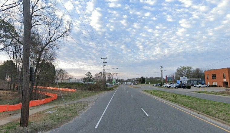
A rail line that sat unused for years on Richmond's Southside is now a 2-mile paved path for walkers and cyclists, stretching from Westover Hills Boulevard to Hopkins Road. The James River Branch Trail opened Thursday as the city's first official rail-to-trail path, with a ribbon-cutting ceremony held at 10:30 a.m. at Crutchfield Street and Westover Hills Boulevard.
The project was first envisioned almost 20 years before it opened, according to The Richmonder, and came together largely through $9 million in American Rescue Plan Act funds. The ribbon-cutting itself was previously announced by RVAHub, which confirmed the Thursday morning ceremony time and location. Even before the ceremony wrapped up, parts of the path were already getting use — a handful of Richmond High School for the Arts students strolled through in pairs, and a cyclist passed by, the outlet reported.
A Decades-Long Wait Finally Pays Off
The paved trail is 10 feet wide and crosses three significant roads along its route: Midlothian Turnpike, Hull Street Road and East Broad Rock Road. Each of those major-road crossings includes beacons and traffic-calming infrastructure, per the same account. Along the way, the trail threads through surrounding neighborhoods and connects to destinations including Southside Plaza.
Richmond Mayor Danny Avula tied the funding directly to the pandemic era, noting that federal relief dollars reshaped what the city could build. “One of the things that did come out of that was the infusion of dollars through ARPA,” Avula said, according to the report. He also said the trail advances a vision of connected communities with safer access for people biking and walking.
Linking to the River Without the Traffic
The new path also connects to the recently opened Crooked Branch Trail, which will let users reach the James River Park System without having to navigate busy roadways, the outlet noted. Andy Boenau, Richmond's director of transportation, framed the broader goal in simple terms. “This is all about access, connecting in and out of neighborhoods,” Boenau said.
Natalie Rainer, with Bike Walk RVA at Sports Backers, said greenways like this one offer more than just a place to pedal — they provide retreat, safe travel, exercise, alternative transportation and an active lifestyle. She added that the project could spark transformation in South Richmond.
A Regional Push for More Paths
The James River Branch Trail adds to a growing regional network. The greater Richmond area currently has an estimated 136 miles of infrastructure dedicated to safer cycling, including shared-use paths, cycle tracks and bike lanes, according to Plan RVA. The regional planning organization's BikePedRVA 2045 plan sets a target of 121 additional miles of shared-use paths and more than 650 miles of combined bicycle and pedestrian routes over the next two decades, a goal the Policy Board adopted on May 5.
One resident who grew up near the trail biked across town to attend Thursday's ribbon-cutting and said he plans to use the new path regularly, describing it as therapeutic and safe. For Southside residents who had long used the old rail corridor informally, the opening marks a shift from an unmarked shortcut to an official, paved amenity built for pedestrians and cyclists alike.





