

























































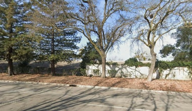
A one-mile stretch of levee along Tenmile Slough in Stockton is now reinforced with a seepage cutoff wall, rock facing and a new access road, giving nearby neighborhoods added flood protection just as forecasters point toward a potentially strong El Niño winter. Officials have marked the Tenmile Slough Levee Improvement Project complete, and the San Joaquin Area Flood Control Agency says the work addresses one of the most critically deficient sections of the Central Valley levee system.
Darren Suen, the flood control agency's executive director, said the completed infrastructure can give Stockton and San Joaquin County residents peace of mind heading into winter. According to CBS Sacramento, the Tenmile Slough area sits within a 200-year flood plain, and Suen said the levee protects more than a quarter of a million people and their homes. The agency prioritized this particular stretch because a failure here could affect a large number of people and homes.
The Tenmile Slough work is one piece of a much larger undertaking known as the Lower San Joaquin River Project, which state officials describe as a $1.95 billion effort, according to a California Department of Water Resources announcement. Other reporting has pegged the broader effort at $2 billion; Stocktonia reported that figure when the project broke ground. The dossier does not clarify whether that gap reflects rounding or a revised estimate.
What the Upgrades Actually Include
The improvements along Tenmile Slough include a seepage wall designed to stop water from moving underneath the levee, a rock face meant to blunt wave action, and a new access road for maintenance crews and emergency responders. Charlie Halford, vice chair of the San Joaquin Area Flood Control Agency, said the levee's height is now about the same as the tops of nearby houses. Halford experienced the 1997 floods firsthand while serving as a Manteca police captain, and the agency says that disaster made clear the need for stronger flood protection across the region.
After the 1997 floods, the California Department of Water Resources and the Central Valley Flood Protection Board identified significant flood risks throughout the San Joaquin River Basin, laying groundwork for projects like this one. Stockton has a long history with major flooding, having seen it in 1955 and 1958 as well as 1997, the same reporting from Stocktonia notes.
A Much Bigger Project Still Years From Done
Tenmile Slough is just a one-mile stretch of a far larger undertaking. The San Joaquin Area Flood Control Agency plans to improve about 23 miles of levees over the next 10 to 15 years, and Stocktonia's reporting put the broader figure at nearly 24 miles of upgrades with completion expected by 2039. That broader system is described as protecting 71,000 acres, 264,000 residents and property valued at $21 billion, per the agency's estimate cited by Stocktonia.
A separate announcement from the Governor of California's office said the project, once finished, would provide improved flood protection for 122,000 residents and $28.7 billion in property specifically in north and central Stockton.
Funding for the effort breaks down as 65% federal, 25% state and 10% local, according to Local News Matters. That outlet also reported that the project's first phase, covering just over a mile of the Tenmile Slough levee, was slated for completion in late 2026. Roughly 94,000 Stockton residents voted in 2023 to support an annual property assessment that helps fund the broader work, the same report noted.
Why El Niño Timing Matters, and Why It's Uncertain
The timing lines up with a forecast from the National Weather Service's Climate Prediction Center, which put the odds of a very strong El Niño event this season at 90%, according to Stocktonia's coverage. But Suen cautioned that Northern California precipitation has varied significantly during past El Niño years, saying roughly a third have been wetter than usual, a third have seen average precipitation, and a third have been dry.
That uncertainty tracks with federal guidance. The National Weather Service notes that in Northern California, there is little correlation between precipitation and most ENSO patterns, and a NOAA repository summary similarly found that El Niño's precipitation effects vary by region and season, with none of ten cited late-winter events placing Northern California in its driest tercile. Suen said continued improvements and planning remain necessary regardless of how any single winter plays out, adding that he is passionate about protecting communities. The Tenmile Slough upgrades, officials say, are meant to prepare the region for possible flooding no matter the season.
Older Levees Still an Open Question
Not every levee in the area has had the same scrutiny. Agricultural levees near Tenmile Slough are not known to meet current standards, and officials say they do not know the full condition of those structures. That uncertainty echoes recent trouble elsewhere in the region: a levee failure in western San Joaquin County in October 2024 prompted officials to declare a local state of emergency, after a 2,000-foot section of breakwater on Victoria Island was found to be releasing an estimated 6,000 gallons of water per minute through its base, Stocktonia reported.
More recently, a San Joaquin County levee partially failed in late October, and as of Monday, water was still running from underneath the structure and out onto a nearby alfalfa field, according to CBS Sacramento. State officials said they planned to begin repair work the following Tuesday in hopes of patching the levee for good. Against that backdrop, the finished Tenmile Slough stretch represents one completed piece of a flood-control puzzle that, by the agency's own timeline, will take more than a decade to finish.



