

























































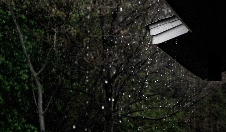
San Francisco is heading into a rainy, blustery Friday, with the main downpour arriving during the morning commute and thunderstorms possible from late morning into early afternoon. Temperatures are forecast in the upper 50s to lower 60s, while southwest winds could gust to 37 mph. By evening, the rain may ease to showers, but the coast will be entering a much more dangerous stretch.
Friday Rain And Wind Could Complicate Commutes
Rain is expected around the morning commute, with the central Bay Area rain band forecast from later morning into early afternoon and a slight chance of thunder. More rain is expected during the afternoon, with roughly a half-inch to three-quarters of an inch possible across San Francisco and stronger gusts accompanying the front.
The wettest and most unsettled period lines up with the middle of the day, when temperatures will hover around 60 degrees. Winds will turn from southerly to southwesterly behind the front, with showers lingering into Friday night.
Coastal Flooding And High Surf Threaten Shorelines
A Coastal Flood Advisory remains in effect through 4 p.m. Friday for low-lying areas near San Francisco Bay and other tidal waterways. High tides could bring coastal flooding to low-lying shoreline areas, according to the National Weather Service.
A High Surf Warning begins at 6 p.m. Friday and continues through 4 a.m. Sunday. Breaking waves of 25 to 35 feet are expected along the Pacific coast, with occasional sets reaching 40 to 50 feet at favored breakpoints, while a second Coastal Flood Advisory runs from midnight Friday night through 6 p.m. Saturday.
Saturday Offers A Brief Break Before Sunday Rain
Saturday could bring lingering post-frontal showers in the morning, with highs in the lower to middle 60s. That brief improvement will not erase the coastal hazards, as large waves may run up beaches and crash over seawalls during the day.
Beachgoers should stay out of the water and away from jetties, piers, rocks and seawalls. Drivers should allow extra time, avoid barricades and never drive through water of unknown depth.
More Rain Returns Sunday And Next Week
Rain returns Sunday, with a high near 64 degrees and between a quarter-inch and half-inch possible. A second front is expected Sunday into early Monday, followed by a lull later Monday into Tuesday.
The unsettled pattern returns Tuesday night, when rain is expected after 10 p.m., with additional rain likely Wednesday and a chance of showers Thursday. The National Weather Service says the repeated rounds of rain could eventually leave soils more saturated, increasing the risk of nuisance flooding and shallow landslides later in the week.




