

























































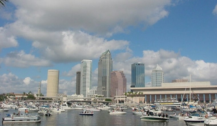
Tampa is waking up to a stormy Monday, with showers and thunderstorms moving through the area before the rain becomes more hit-or-miss later in the day. The high will hover near 80, but a breezy east-northeast wind and pockets of heavy rain could complicate the morning commute.
Storms Ease, But Water Risks Linger
The latest forecast calls for widespread rain and thunderstorms through late morning, followed by isolated storms into the afternoon. The National Weather Service says rainfall totals could reach three-quarters of an inch to 1 inch, with gusts up to 21 mph; a Flood Watch remains in effect for Highlands County through Monday afternoon, while isolated flooding elsewhere in the region cannot be ruled out.
The watch does not include Tampa, but heavy downpours can still slow traffic and briefly overwhelm drainage in low-lying spots. Boaters should also take note: a Small Craft Advisory is in effect for parts of the Gulf waters west of Tampa Bay through Monday afternoon, with rough conditions possible into Tuesday morning.
Tuesday And Wednesday Stay Warm And Unsettled
Rain chances dip Monday night before another round of scattered showers and thunderstorms develops Tuesday afternoon. Tuesday could reach 84 degrees with a 50% chance of rain, followed by another warm, storm-prone day Wednesday with a high near 85 and a 40% rain chance.
The shift is a sharper update from Sunday's outlook, which anticipated a wet start to the week but had no watch posted for the Tampa forecast area, according to Hoodline's earlier forecast.
Sunshine Takes Over By Thursday
Thursday brings a welcome reset with sunny skies and a high near 84, followed by another sunny day Friday near 83. The weekend looks quieter and slightly cooler, with mostly clear nights, highs around 81 Saturday and 80 Sunday, and overnight lows falling into the mid-60s.




