

























































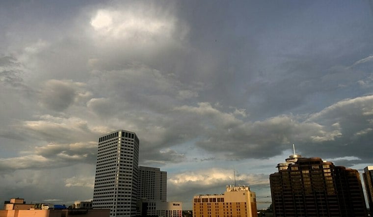
New Orleans is forecast to have mostly cloudy skies Wednesday, with a high near 75 and only a slight chance of morning showers. Veterans Day should also top out near 75, with showers decaying and moving out by mid-afternoon; the shortwave trough will exit in the evening and a weak front will pass overnight.
The National Weather Service forecast mentions a chance of showers and lists no watches, warnings or advisories for the area.
New Orleans Cools as Inland Areas Face Frost Risk
Thursday brings mostly sunny skies and a high near 73, followed by a drop to around 54 Thursday night. Friday is sunny and cooler, near 68, with a low around 50 as dry northerly air settles in.
Saturday stays sunny near 64. Colder inland locations north and west of New Orleans may see frost or a light freeze Saturday morning, while the city remains milder. Hoodline’s earlier forecast had noted a late-week front; the forecast discussed here highlights the potential frost and light freeze inland, rather than for New Orleans.
Dry Air Means Fire Caution
Dry air and ongoing drought conditions will raise fire-spread concerns from Thursday through Saturday. The weather service says people under burn bans should avoid outdoor burning entirely, while everyone else should use extra caution with grills, fire pits and sparks around dry vegetation.
Check Fire Conditions Before Burning
The Louisiana Department of Agriculture and Forestry recommends checking fire conditions and practicing safe burning even when no burn ban is in effect. This guidance does not establish whether a burn ban applies locally during this forecast period.
For New Orleans, the notable change is the drop in humidity, not a major rainmaker. A better chance of rain arrives Monday, but dry conditions remain a concern.
Rain Chances Return Monday
Sunday remains mostly sunny, with temperatures rebounding to the upper 60s. Monday brings partly sunny skies and a 30% chance of showers, followed by mostly sunny conditions Tuesday.





